
IMAGES TAKEN NEAR TO
Stanstead Close, CATERHAM, CR3 6DY
Introduction
This page details the photographs taken nearby to Stanstead Close, CR3 6DY by members of the Geograph project.
The Geograph project started in 2005 with the aim of publishing, organising and preserving representative images for every square kilometre of Great Britain, Ireland and the Isle of Man.

There are currently over 7.5m images from over14,400 individuals and you can help contribute to the project by visiting https://www.geograph.org.uk
Image Map
Images are licensed for reuse under creativecommons.org/licenses/by-sa/2.0
Notes
- Clicking on the map will re-center to the selected point.
- The higher the marker number, the further away the image location is from the centre of the postcode.
Image Listing (86 Images Found)
Images are licensed for reuse under creativecommons.org/licenses/by-sa/2.0
Image
Details
Distance
1
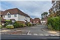
Stanstead Close
Cul-de-sac off Stanstead Road completed in 2007.
Image: © Ian Capper
Taken: 12 Oct 2018
0.03 miles
2
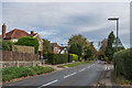
Stanstead Road
c1930s housing on Stanstead Road.
Image: © Ian Capper
Taken: 12 Oct 2018
0.06 miles
3
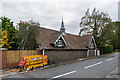
15 Stanstead Road
The rear of the former stable block to Woodside, here backing onto Stanstead Road, dating from 1861. Woodside itself was demolished in around the 1960s with housing built in its grounds along Stanstead Road.
Image: © Ian Capper
Taken: 12 Oct 2018
0.08 miles
5
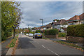
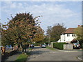
Park Avenue
c1930s housing on a road leading off Stanstead Road towards Queen's Park.
Image: © Ian Capper
Taken: 12 Oct 2018
0.09 miles
6
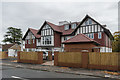
Chapman House
Development of 12 apartments completed in 2018. This was the site of a Victorian house called Lynton Croft which was demolished in 2008 and which latterly housed a residential care home of the same name.
Image: © Ian Capper
Taken: 12 Oct 2018
0.10 miles
7
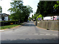
Caterham: Stanstead Road
Looking from its junction with Church Hill. Stanstead Road is a very long road, over a mile, leading to the crest of the Downs near to a pub. called 'The Harrow'.
Image: © Dr Neil Clifton
Taken: 28 Apr 2011
0.11 miles
8

Queen's Park, Caterham
This pleasant park dates from 1900, and has a popular playground with refreshments. This view is from the Park Avenue entrance.
Image: © Derek Harper
Taken: 15 Oct 2011
0.11 miles
9
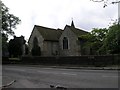
St. Lawrence, Caterham
Built in 1085, this was the main parish church for Caterham until it was replaced by a larger building across the road in 1866.
Image: © Hywel Williams
Taken: 28 Jul 2005
0.12 miles
10
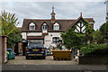
1 High View
Stables/carriage house to Woodside View (originally Woodlands - see Image), dating from 1861.
Image: © Ian Capper
Taken: 12 Oct 2018
0.13 miles