
IMAGES TAKEN NEAR TO
Warham Road, SOUTH CROYDON, CR2 6LP
Introduction
This page details the photographs taken nearby to Warham Road, CR2 6LP by members of the Geograph project.
The Geograph project started in 2005 with the aim of publishing, organising and preserving representative images for every square kilometre of Great Britain, Ireland and the Isle of Man.

There are currently over 7.5m images from over14,400 individuals and you can help contribute to the project by visiting https://www.geograph.org.uk
Image Map
Images are licensed for reuse under creativecommons.org/licenses/by-sa/2.0
Notes
- Clicking on the map will re-center to the selected point.
- The higher the marker number, the further away the image location is from the centre of the postcode.
Image Listing (151 Images Found)
Images are licensed for reuse under creativecommons.org/licenses/by-sa/2.0
Image
Details
Distance
1
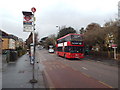
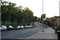
Warham Road, South Croydon
Warham Road, in South Croydon.
Image: © Malc McDonald
Taken: 14 Feb 2015
0.03 miles
4
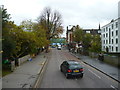
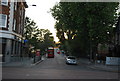
South Croydon, Warham Road
Looking east. This road is used as the layover stand for buses on Route 468, which used to show 'South Croydon, Swan and Sugar Loaf' on their blinds, but since the closure of the eponymous public house, this has been altered to 'South Croydon, South End'.
Image: © Dr Neil Clifton
Taken: 13 Nov 2014
0.04 miles
7
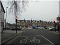
Warham Road at the junction of Brighton Road
Image: © David Howard
Taken: 4 Jan 2015
0.05 miles
9
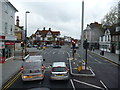
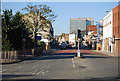
South Croydon: South End
Centre left is seen the Swan and Sugar Loaf public house, now closed and used as a supermarket.
Image: © Dr Neil Clifton
Taken: 13 Nov 2014
0.06 miles
10
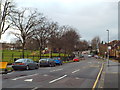
Nottingham Road, South Croydon
The green space on the opposite side of the road forms part of the grounds of Whitgift School.
Image: © Malc McDonald
Taken: 14 Feb 2015
0.06 miles