IMAGES TAKEN NEAR TO
Ipswich Road, MANNINGTREE, CO11 1NP
Introduction
This page details the photographs taken nearby to Ipswich Road, CO11 1NP by members of the Geograph project.
The Geograph project started in 2005 with the aim of publishing, organising and preserving representative images for every square kilometre of Great Britain, Ireland and the Isle of Man.

There are currently over 7.5m images from over14,400 individuals and you can help contribute to the project by visiting https://www.geograph.org.uk
Image Map
Images are licensed for reuse under creativecommons.org/licenses/by-sa/2.0
Notes
- Clicking on the map will re-center to the selected point.
- The higher the marker number, the further away the image location is from the centre of the postcode.
Image Listing (17 Images Found)
Images are licensed for reuse under creativecommons.org/licenses/by-sa/2.0
Image
Details
Distance
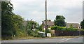
3
School Lane, Brantham
The school, now a house, was not actually on this lane, but just round the corner at the far end of the lane on Church Lane.
Image: © Robin Webster
Taken: 26 Nov 2017
0.13 miles
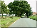
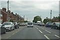
5
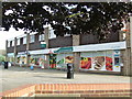
Shops
Shops on Birch Drive Brantham, Suffolk.
Image: © Keith Evans
Taken: 17 Oct 2013
0.17 miles

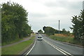
7
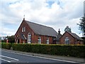
Holy Family R.C. church, Brantham
Built in 1919.
Image: © Bikeboy
Taken: 13 Sep 2014
0.17 miles