School Lane, Brantham
Introduction
The photograph on this page of School Lane, Brantham by Robin Webster as part of the Geograph project.
The Geograph project started in 2005 with the aim of publishing, organising and preserving representative images for every square kilometre of Great Britain, Ireland and the Isle of Man.

There are currently over 7.5m images from over 14,400 individuals and you can help contribute to the project by visiting https://www.geograph.org.uk
School Lane, Brantham
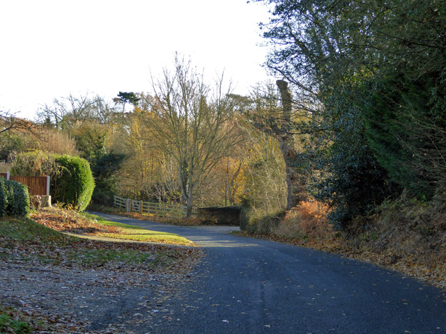
Image: © Robin Webster Taken: 26 Nov 2017
The school, now a house, was not actually on this lane, but just round the corner at the far end of the lane on Church Lane.
Images are licensed for reuse under creativecommons.org/licenses/by-sa/2.0
Image Location
Latitude
51.96744
Longitude
1.067833