
IMAGES TAKEN NEAR TO
Heath Lane, ELLESMERE PORT, CH66 7NW
Introduction
This page details the photographs taken nearby to Heath Lane, CH66 7NW by members of the Geograph project.
The Geograph project started in 2005 with the aim of publishing, organising and preserving representative images for every square kilometre of Great Britain, Ireland and the Isle of Man.

There are currently over 7.5m images from over14,400 individuals and you can help contribute to the project by visiting https://www.geograph.org.uk
Image Map
Images are licensed for reuse under creativecommons.org/licenses/by-sa/2.0
Notes
- Clicking on the map will re-center to the selected point.
- The higher the marker number, the further away the image location is from the centre of the postcode.
Image Listing (14 Images Found)
Images are licensed for reuse under creativecommons.org/licenses/by-sa/2.0
Image
Details
Distance
1
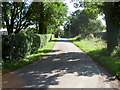
Heath Lane
Looking east towards Childer Thornton.
Image: © David Quinn
Taken: 22 Aug 2007
0.02 miles
2
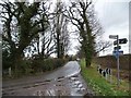
Heath Lane, looking east from a 36 metre spot height
To compare winter with summer, see Image taken in August.
Image: © Christine Johnstone
Taken: 18 Jan 2015
0.06 miles
3
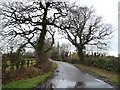
Heath Lane, looking north from a 36 metre spot height
Part of the North Cheshire Way and National Cycle Route 56.
Image: © Christine Johnstone
Taken: 18 Jan 2015
0.08 miles
4
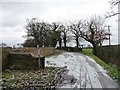
Public bridleway to Oaks Farm, in winter
Part of the North Cheshire Way and national cycle route 56. For a similar view in August, see Image
Image: © Christine Johnstone
Taken: 18 Jan 2015
0.10 miles
5
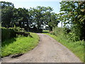
Bridleway off Heath Lane.
The Bridleway carries National Cycle Route 56 and regional routes 70 and 71 between Willaston and Ledsham. The bridleway also passes directly over Oaks Farm.
Image: © David Quinn
Taken: 22 Aug 2007
0.10 miles
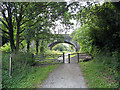
7
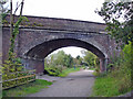
Hooton - Heath Lane Bridge
Hooton: Heath Lane bridge where the North Cheshire Way joins the Wirral Way.
Image: © Mike Harris
Taken: 18 Sep 2006
0.21 miles
9
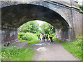
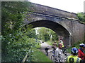
Bridge over the Wirral Way near Willaston
This section of the line from Hooton to West Kirby, a branch of the Birkenhead Railway, was opened in 1866 and closed in 1962. In 1973, the whole length of the old railway was designated as the "Wirral Way", part of the Wirral Country Park, a traffic-free route for walkers. Use of the path was subsequently extended to cyclists and horse-riders and is designated as National Route 56 of the National Cycle Network. The bridge carries Heath Lane.
Image: © Oliver Dixon
Taken: 4 Jun 2014
0.22 miles
10
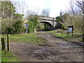
Signage on Wirral Way
Heath Lane bridge crosses the line of the dismantled railway
Image: © Raymond Knapman
Taken: 9 Mar 2017
0.22 miles