IMAGES TAKEN NEAR TO
Long Lane, CHESTER, CH2 2PG
Introduction
This page details the photographs taken nearby to Long Lane, CH2 2PG by members of the Geograph project.
The Geograph project started in 2005 with the aim of publishing, organising and preserving representative images for every square kilometre of Great Britain, Ireland and the Isle of Man.

There are currently over 7.5m images from over14,400 individuals and you can help contribute to the project by visiting https://www.geograph.org.uk
Image Map
Images are licensed for reuse under creativecommons.org/licenses/by-sa/2.0
Notes
- Clicking on the map will re-center to the selected point.
- The higher the marker number, the further away the image location is from the centre of the postcode.
Image Listing (19 Images Found)
Images are licensed for reuse under creativecommons.org/licenses/by-sa/2.0
Image
Details
Distance
1
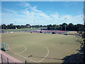
Multi Sports Pitches
Cheshire County Officers Sports Club
Image: © Dennis Turner
Taken: 9 Aug 2005
0.07 miles
4
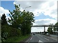
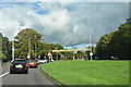
Footbridge over A41, Upton, leading to playing firlds
The pedestrian's perspective is at Image
Image: © David Smith
Taken: 24 Apr 2024
0.11 miles
5
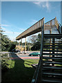
Stairway to Heaven ?
Footbridge over Chester bypass, definitely for the able-bodied !
Image: © Dennis Turner
Taken: 9 Aug 2005
0.11 miles
6
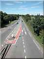
Chester Bypass
North north east of Chester City Centre.
Image: © Dennis Turner
Taken: 9 Aug 2005
0.15 miles
7
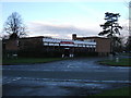
Geistlich Sons Limited
Geistlich Chester supply an innovative range of healthcare products to both the NHS and private sector, and also a range of biomaterial products to the Dental Market.
Geistlich Chester is the UK subsidiary of Geistlich AG [www.geistlich.com] which was established in Switzerland in 1850. Geistlich has been operating in Chester since 1960
Image: © BrianPritchard
Taken: 30 Dec 2007
0.18 miles
8
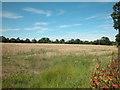
Cereal Crop
The agricultural land is this grid square is pasture or arable.
Image: © Dennis Turner
Taken: 9 Aug 2005
0.18 miles
9

Wayside Veterinary Surgery
The Wayside Veterinary Surgery & Gatehouse Veterinary Hospital is situated at the crossroads of the A41 and Mannings Lane.
A local ex-policeman, can remember as a child, seeing people walking from the city centre along a country lane, to buy ice-cream, when it was a shop. They would also stop nearby [at Chatsworth Drive] to feed the ducks and swans at the pond. The lane across fields has long gone, with the housing development that took place in Newton after the last War.
Mannings Lane was a Roman Road, linking Chester with Frodsham and Warrington, a little further on after the motorway, it is named The Street.
Image: © BrianPritchard
Taken: 7 Feb 2008
0.19 miles