
IMAGES TAKEN NEAR TO
Abertridwr, CAERPHILLY, CF83 4DS
Introduction
This page details the photographs taken nearby to CF83 4DS by members of the Geograph project.
The Geograph project started in 2005 with the aim of publishing, organising and preserving representative images for every square kilometre of Great Britain, Ireland and the Isle of Man.

There are currently over 7.5m images from over14,400 individuals and you can help contribute to the project by visiting https://www.geograph.org.uk
Image Map
Images are licensed for reuse under creativecommons.org/licenses/by-sa/2.0
Notes
- Clicking on the map will re-center to the selected point.
- The higher the marker number, the further away the image location is from the centre of the postcode.
Image Listing (64 Images Found)
Images are licensed for reuse under creativecommons.org/licenses/by-sa/2.0
Image
Details
Distance
1
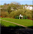
Multi-use sports court in Abertridwr
Viewed from Woodland Terrace.
Image: © Jaggery
Taken: 1 Apr 2019
0.06 miles
2
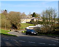
Windsor Place, Abertridwr
From Woodland Terrace, Windsor Place leads to The Garth and Garth Estate.
Image: © Jaggery
Taken: 1 Apr 2019
0.06 miles
3
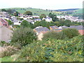
Abertridwr
View of this former coal mining village from the road west to Eglwysilan. The village is long and narrow, shaped by the narrowness of the valleys. Most streets run along the contour lines. Newer houses have been built on the upper slopes.
Image: © Colin Smith
Taken: 24 Sep 2006
0.08 miles
4
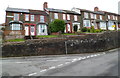
Woodland Terrace Abertridwr
Viewed from opposite the Havard Road junction. The row of houses is set above road level. There are no houses on the opposite side of Woodland Terrace, which is occupied appropriately by the edge of woodland.
Image: © Jaggery
Taken: 27 Apr 2012
0.08 miles
5

Ordnance Survey Rivet
This OS rivet can be found on the retaining wall above the river. It marks a point 165.238m above mean sea level.
Image: © Adrian Dust
Taken: 25 May 2019
0.08 miles
6
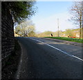
Towards the top of the hill, Woodland Terrace, Abertridwr
Towards the end of the ascent from The Square in the centre of the village.
Ahead for Hendre Road and Eglwysilan Road.
Image: © Jaggery
Taken: 1 Apr 2019
0.09 miles
7
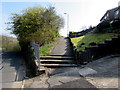
Steps to a path on the east side of Woodland Terrace, Abertridwr
The path leads to Upper Francis Street.
Image: © Jaggery
Taken: 1 Apr 2019
0.10 miles
8
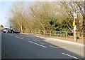
Woodland Terrace bus stop, Abertridwr
In April 2019 this is a stop on Stagecoach Route E to Senghenydd.
The railings and trees are above the stream Nant Ilan.
Image: © Jaggery
Taken: 1 Apr 2019
0.10 miles
9
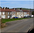
Hendre Road houses, Abertridwr
Houses at the eastern end of Hendre Road viewed from Eglwysilan Road.
Image: © Jaggery
Taken: 1 Apr 2019
0.10 miles
10
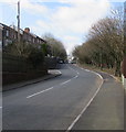
Bend in the road, Abertridwr
From Church Road to Woodland Terrace past the Havard Road junction.
Image: © Jaggery
Taken: 28 Mar 2019
0.10 miles