Woodland Terrace Abertridwr
Introduction
The photograph on this page of Woodland Terrace Abertridwr by Jaggery as part of the Geograph project.
The Geograph project started in 2005 with the aim of publishing, organising and preserving representative images for every square kilometre of Great Britain, Ireland and the Isle of Man.

There are currently over 7.5m images from over 14,400 individuals and you can help contribute to the project by visiting https://www.geograph.org.uk
Woodland Terrace Abertridwr
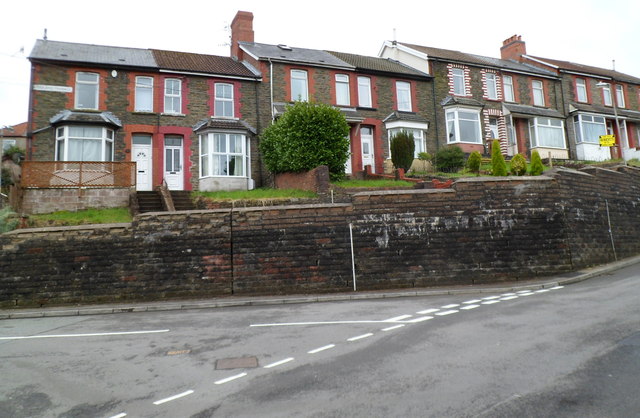
Image: © Jaggery Taken: 27 Apr 2012
Viewed from opposite the Havard Road junction. The row of houses is set above road level. There are no houses on the opposite side of Woodland Terrace, which is occupied appropriately by the edge of woodland.
Images are licensed for reuse under creativecommons.org/licenses/by-sa/2.0
Image Location
Latitude
51.595584
Longitude
-3.277595