IMAGES TAKEN NEAR TO
Trevelyan Court, LLANTWIT MAJOR, CF61 2GB
Introduction
This page details the photographs taken nearby to Trevelyan Court, CF61 2GB by members of the Geograph project.
The Geograph project started in 2005 with the aim of publishing, organising and preserving representative images for every square kilometre of Great Britain, Ireland and the Isle of Man.

There are currently over 7.5m images from over14,400 individuals and you can help contribute to the project by visiting https://www.geograph.org.uk
Image Map
Images are licensed for reuse under creativecommons.org/licenses/by-sa/2.0
Notes
- Clicking on the map will re-center to the selected point.
- The higher the marker number, the further away the image location is from the centre of the postcode.
Image Listing (110 Images Found)
Images are licensed for reuse under creativecommons.org/licenses/by-sa/2.0
Image
Details
Distance
1
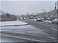
Eagleswell Road, Llantwit Major
On a clear day you can see forever!
Image: © Mick Lobb
Taken: 3 Feb 2009
0.03 miles
2
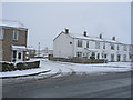
Garage Court C off Eagleswell Road, Llantwit Major
The estate, with which the garage courts are associated, is divided into areas named as courts so it follows that the independent garage areas are too.
Image: © Mick Lobb
Taken: 3 Feb 2009
0.07 miles
3
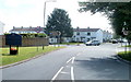
Llanmaes Road, Llantwit Major
Viewed from the edge of the B4265. Llanmaes Road heads past the Llantwit Major boundary sign. http://www.geograph.org.uk/photo/2497854 The right turn is into Frampton Lane, the left turn is into Eagleswell Road.
Image: © Jaggery
Taken: 9 Jul 2011
0.08 miles
4
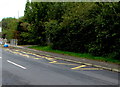
Zigzag yellow markings on Eagleswell Road, Llantwit Major
Marking a School Keep Clear Zone, the yellow markings remain in September 2019, several years after Eagleswell Primary & Nursery School closed down. Satellite views show that the school buildings have been demolished.
Image: © Jaggery
Taken: 25 Sep 2019
0.13 miles
5
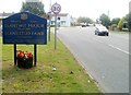
Welcome to Llantwit Major
Viewed from the edge of the B4265, looking along Llanmaes Road. Llantwit Major, in the Vale of Glamorgan, is a town with a population of about 13,000. The English form of the town's name appears to be a garbled form of the Welsh name, Llanilltud. The town is twinned with Le Pouliguen, France.
Image: © Jaggery
Taken: 9 Jul 2011
0.13 miles
6
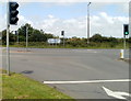
B4265 at the NE edge of Llantwit Major
Viewed from Llanmaes Road. Turn left for Wick or St Brides Major, right for St Athan and Rhoose.
Image: © Jaggery
Taken: 9 Jul 2011
0.13 miles
8
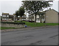
De Clare Court houses and trees, Llantwit Major
Set back from the west side of Eagleswell Road.
Image: © Jaggery
Taken: 25 Sep 2019
0.14 miles
9
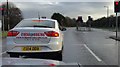
Seeing Red
Red lights take control of traffic outside Llantwit Major. Wouldn't a roundabout serve better?
Image: © Alan Hughes
Taken: 2 Jan 2016
0.14 miles