1
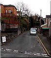
Llwynmadoc Street, Pontypridd
Viewed across Graigwen Road near the Pantygraigwen Road junction.
Image: © Jaggery
Taken: 25 Nov 2014
0.13 miles
2
Beech Villas leading to Highfield Terrace, Pontypridd
The large name sign on the corner of Graigwen Road shows
BEECH VILLAS NOS 1-3 LEADING TO HIGHFIELD TERRACE NOS 1-9.
Image: © Jaggery
Taken: 25 Nov 2014
0.14 miles
3
Mayfield Close, Graigwen, Pontypridd
Image: © John Lord
Taken: 3 Mar 2012
0.14 miles
4
Tyfica Crescent, Pontypridd
90 metre long dead-end street viewed from Thomas Street.
The grey fence on the right encloses an electricity substation. http://www.geograph.org.uk/photo/4258505
Image: © Jaggery
Taken: 25 Nov 2014
0.16 miles
5
Llwynmaddoc St, Graigwen, Pontypridd
Image: © John Lord
Taken: 3 Mar 2012
0.16 miles
6
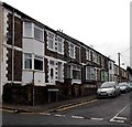
Pencerrig Street, Pontypridd
Houses on the north side of the street, viewed across Graigwen Road.
Image: © Jaggery
Taken: 25 Nov 2014
0.17 miles
7
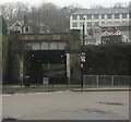
Railway underpass, Pontypridd
Viewed from Pontypridd Bus Station on a grey, drizzly day in November 2020.
The path under the bridge leads to Lanpark Road.
Image: © Jaggery
Taken: 21 Nov 2020
0.17 miles
8
Junction in Graigwen, Pontypridd
Pantygraigwen Road on the left, Graigwen Road on the right.
Image: © Jaggery
Taken: 25 Nov 2014
0.18 miles
9
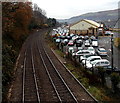
Goods Yard Car Park, Pontypridd
Former railway goods yard viewed from this http://www.geograph.org.uk/photo/2404613 bridge. Since October 2012, Rhondda Cynon Taf Council retains the right to manage and enforce only the lower section of this car park near and behind the Bowls Centre. All Council parking bays are clearly marked with blue bay markings. The rest of the Goods Yard Car Park comes under the management and enforcement of Euro Car Parks.
Image: © Jaggery
Taken: 25 Nov 2014
0.19 miles
10
Railway line, seen from Gelliwastad Grove, Pontypridd
The line follows the Taff Vale to Abercynon, then forks to Aberdare and Merthyr Tydfil.
Image: © John Lord
Taken: 3 Mar 2012
0.19 miles


