Goods Yard Car Park, Pontypridd
Introduction
The photograph on this page of Goods Yard Car Park, Pontypridd by Jaggery as part of the Geograph project.
The Geograph project started in 2005 with the aim of publishing, organising and preserving representative images for every square kilometre of Great Britain, Ireland and the Isle of Man.

There are currently over 7.5m images from over 14,400 individuals and you can help contribute to the project by visiting https://www.geograph.org.uk
Goods Yard Car Park, Pontypridd
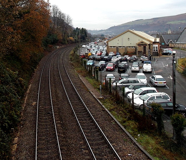
Image: © Jaggery Taken: 25 Nov 2014
Former railway goods yard viewed from this http://www.geograph.org.uk/photo/2404613 bridge. Since October 2012, Rhondda Cynon Taf Council retains the right to manage and enforce only the lower section of this car park near and behind the Bowls Centre. All Council parking bays are clearly marked with blue bay markings. The rest of the Goods Yard Car Park comes under the management and enforcement of Euro Car Parks.
Images are licensed for reuse under creativecommons.org/licenses/by-sa/2.0
Image Location
Latitude
51.604396
Longitude
-3.3421