
IMAGES TAKEN NEAR TO
Clos Capel Y Pil, BRIDGEND, CF33 4QE
Introduction
This page details the photographs taken nearby to Clos Capel Y Pil, CF33 4QE by members of the Geograph project.
The Geograph project started in 2005 with the aim of publishing, organising and preserving representative images for every square kilometre of Great Britain, Ireland and the Isle of Man.

There are currently over 7.5m images from over14,400 individuals and you can help contribute to the project by visiting https://www.geograph.org.uk
Image Map
Images are licensed for reuse under creativecommons.org/licenses/by-sa/2.0
Notes
- Clicking on the map will re-center to the selected point.
- The higher the marker number, the further away the image location is from the centre of the postcode.
Image Listing (79 Images Found)
Images are licensed for reuse under creativecommons.org/licenses/by-sa/2.0
Image
Details
Distance
1
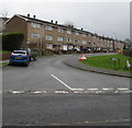
Pil-y-cynffig, North Cornelly
Three-storey flats in the street named Pil-y-cynffig viewed from Ffordd yr Eglwys.
Image: © Jaggery
Taken: 4 Mar 2017
0.09 miles
2
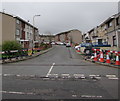
Bron-y-Wawr, North Cornelly
Bron-y-Wawr is a street extending for about 100 metres from Ffordd yr Eglwys to Pil-y-cynffig. The dark line on the road surface towards the cones and the dark line towards the car show where Virgin Media underground cables have recently been laid. Cable laying work is ongoing nearby http://www.geograph.org.uk/photo/5301582 in early March 2017.
Image: © Jaggery
Taken: 4 Mar 2017
0.12 miles
3
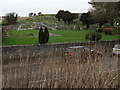
Cornelly Cemetery, North Cornelly
On the north side of Ffordd Yr Eglwys.
Image: © Jaggery
Taken: 1 Mar 2017
0.12 miles
4
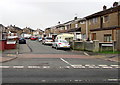
Ffynnon Wen (eastern part) in North Cornelly
One of two parallel cul-de-sacs named Ffynnon Wen on the south side of Ffordd yr Eglwys.
Ahead are numbers 21-51 Ffynnon Wen.
Image: © Jaggery
Taken: 4 Mar 2017
0.12 miles
5
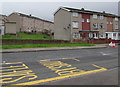
Three-storey flats in North Cornelly
Viewed across Ffordd yr Eglwys. The flats in the background are in the street named Pil-y-cynffig.
Image: © Jaggery
Taken: 4 Mar 2017
0.13 miles
6
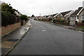
East along Hall Drive, North Cornelly
Towards the Heol-y-parc junction.
Image: © Jaggery
Taken: 1 Mar 2017
0.13 miles
7
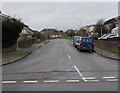
Heol-y-Parc, North Cornelly
From Ffordd yr Eglwys along Heol-y-Parc towards the Hall Drive junction.
Image: © Jaggery
Taken: 1 Mar 2017
0.13 miles
8
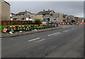
Virgin Media cable laying, Ffordd yr Eglwys, North Cornelly
In early March 2017, temporary fencing on the pavement encloses trenches for Virgin Media underground cables. The fencing extends beyond the corner of Bron-y-Wawr.
Image: © Jaggery
Taken: 4 Mar 2017
0.14 miles
9
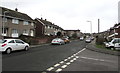
Ffordd yr Eglwys houses near Pyle railway station
Viewed from the corner of Bryn-yr-Orsaf which leads to this http://www.geograph.org.uk/photo/5410762 footpath entrance to Pyle railway station.
Image: © Jaggery
Taken: 4 Mar 2017
0.14 miles
10
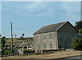
Chapel and cemetery
Located in North Cornelly.
Image: © Chris Shaw
Taken: 26 Jul 2006
0.14 miles