Bron-y-Wawr, North Cornelly
Introduction
The photograph on this page of Bron-y-Wawr, North Cornelly by Jaggery as part of the Geograph project.
The Geograph project started in 2005 with the aim of publishing, organising and preserving representative images for every square kilometre of Great Britain, Ireland and the Isle of Man.

There are currently over 7.5m images from over 14,400 individuals and you can help contribute to the project by visiting https://www.geograph.org.uk
Bron-y-Wawr, North Cornelly
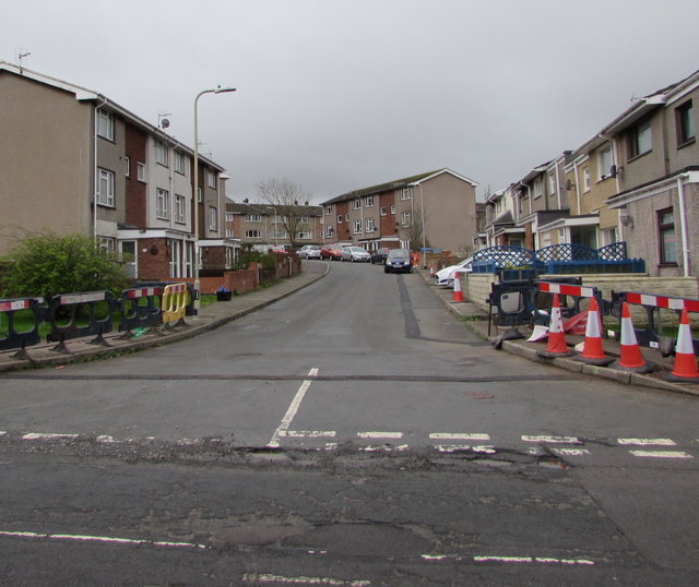
Image: © Jaggery Taken: 4 Mar 2017
Bron-y-Wawr is a street extending for about 100 metres from Ffordd yr Eglwys to Pil-y-cynffig. The dark line on the road surface towards the cones and the dark line towards the car show where Virgin Media underground cables have recently been laid. Cable laying work is ongoing nearby http://www.geograph.org.uk/photo/5301582 in early March 2017.
Images are licensed for reuse under creativecommons.org/licenses/by-sa/2.0
Image Location
Latitude
51.524594
Longitude
-3.69912