
IMAGES TAKEN NEAR TO
Evershed Fields, CB7 6BE
Introduction
This page details the photographs taken nearby to Evershed Fields, CB7 6BE by members of the Geograph project.
The Geograph project started in 2005 with the aim of publishing, organising and preserving representative images for every square kilometre of Great Britain, Ireland and the Isle of Man.

There are currently over 7.5m images from over14,400 individuals and you can help contribute to the project by visiting https://www.geograph.org.uk
Image Map
Images are licensed for reuse under creativecommons.org/licenses/by-sa/2.0
Notes
- Clicking on the map will re-center to the selected point.
- The higher the marker number, the further away the image location is from the centre of the postcode.
Image Listing (29 Images Found)
Images are licensed for reuse under creativecommons.org/licenses/by-sa/2.0
Image
Details
Distance
1
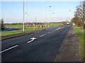
The Shade
Looking out of Soham past the turning to the new housing.
Image: © Hugh Venables
Taken: 3 Jan 2010
0.07 miles
2
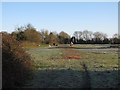
Horse field off The Shade
Horses munching on carrots on the edge of Soham.
Image: © Hugh Venables
Taken: 3 Jan 2010
0.07 miles
4
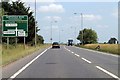
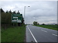
A142 approaching Northfield Road Crossroads
The A142 swings east round Soham and continues heading south.
Image: © J.Hannan-Briggs
Taken: 8 Jul 2013
0.14 miles
6
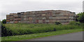
The Crate Wall of Soham
This appears to have been here for some years and comprises about 500 crates
Image: © Keith Edkins
Taken: 4 Jun 2018
0.16 miles
8
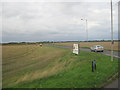
Northfield Road from A142
North of Soham
Image: © John Firth
Taken: 15 Sep 2010
0.19 miles
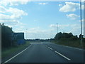
10
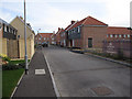
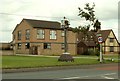
Cyprian Rust Way
New housing in Soham.
Image: © Hugh Venables
Taken: 8 Nov 2009
0.21 miles