
IMAGES TAKEN NEAR TO
The Causeway, ELY, CB7 5BD
Introduction
This page details the photographs taken nearby to The Causeway, CB7 5BD by members of the Geograph project.
The Geograph project started in 2005 with the aim of publishing, organising and preserving representative images for every square kilometre of Great Britain, Ireland and the Isle of Man.

There are currently over 7.5m images from over14,400 individuals and you can help contribute to the project by visiting https://www.geograph.org.uk
Image Map
Images are licensed for reuse under creativecommons.org/licenses/by-sa/2.0
Notes
- Clicking on the map will re-center to the selected point.
- The higher the marker number, the further away the image location is from the centre of the postcode.
Image Listing (37 Images Found)
Images are licensed for reuse under creativecommons.org/licenses/by-sa/2.0
Image
Details
Distance
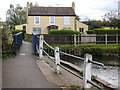
2
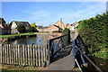
Footbridge over Soham Lode
See http://en.wikipedia.org/wiki/Cambridgeshire_Lodes#Soham_Lode
Image: © Rob Noble
Taken: 5 Sep 2012
0.10 miles
3
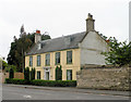
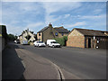
Addison House, Sand Street
Late C18, originally thatched but now has slate roof. Grade II listed.
Image: © Keith Edkins
Taken: 4 Jun 2018
0.13 miles
6
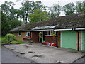
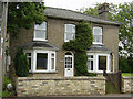
The Orchard, Paddock Street
1960's Bungalow
Image: © Kim Fyson
Taken: 8 Aug 2002
0.14 miles
7
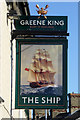
Inn sign, The Ship, Soham
For the whole pub see Image
Image: © Robin Webster
Taken: 6 Aug 2016
0.17 miles
8
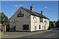
The Ship, Soham
At the southern end of the High Street.
Image: © Robin Webster
Taken: 6 Aug 2016
0.17 miles
10
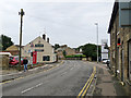
Soham: High Street and The Ship
A pub at the south end of the High Street.
Image: © John Sutton
Taken: 4 Oct 2019
0.17 miles