
IMAGES TAKEN NEAR TO
The Gault, ELY, CB6 2BQ
Introduction
This page details the photographs taken nearby to The Gault, CB6 2BQ by members of the Geograph project.
The Geograph project started in 2005 with the aim of publishing, organising and preserving representative images for every square kilometre of Great Britain, Ireland and the Isle of Man.

There are currently over 7.5m images from over14,400 individuals and you can help contribute to the project by visiting https://www.geograph.org.uk
Image Map
Images are licensed for reuse under creativecommons.org/licenses/by-sa/2.0
Notes
- Clicking on the map will re-center to the selected point.
- The higher the marker number, the further away the image location is from the centre of the postcode.
Image Listing (11 Images Found)
Images are licensed for reuse under creativecommons.org/licenses/by-sa/2.0
Image
Details
Distance
1
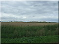
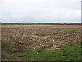
Crop field, North Fen
View over drain from Long North Fen Drove.
Image: © JThomas
Taken: 12 Aug 2017
0.08 miles
4
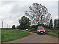
A post van in The Fens
The postman had just stopped at Poplar Hall (behind the trees) and was about to turn towards more remote addresses on Horseley Fen Middle Drove.
Image: © John Sutton
Taken: 21 Oct 2016
0.13 miles
6
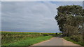
Long North Fen Drove
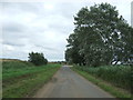
This minor road serves several rural farms.
Image: © Peter Mackenzie
Taken: 28 Aug 2018
0.19 miles
7
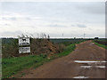
Long North Fen Drove
The wind turbines are new since Bob Jones was here in March 2007: Image
Image: © John Sutton
Taken: 21 Oct 2016
0.22 miles
8
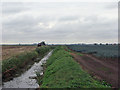
A tractor, a drain and a field of leeks
Looking south from Long North Fen Drove on a cloudy October morning.
Image: © John Sutton
Taken: 21 Oct 2016
0.23 miles
9

Long North Fen Drove
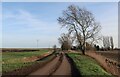
This track leads westwards towards Old Halves Farm, across fenland that is below sea-level.
Image: © Bob Jones
Taken: 26 Mar 2007
0.23 miles
10
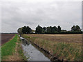
Sea level in the Cambridgeshire Fens
Looking from Long North Fen Drove towards the windbreaks round Acre View, a house on Horseley Fen Middle Drove (and the 0m contour line).
Image: © John Sutton
Taken: 21 Oct 2016
0.24 miles