Sea level in the Cambridgeshire Fens
Introduction
The photograph on this page of Sea level in the Cambridgeshire Fens by John Sutton as part of the Geograph project.
The Geograph project started in 2005 with the aim of publishing, organising and preserving representative images for every square kilometre of Great Britain, Ireland and the Isle of Man.

There are currently over 7.5m images from over 14,400 individuals and you can help contribute to the project by visiting https://www.geograph.org.uk
Sea level in the Cambridgeshire Fens
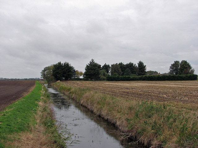
Image: © John Sutton Taken: 21 Oct 2016
Looking from Long North Fen Drove towards the windbreaks round Acre View, a house on Horseley Fen Middle Drove (and the 0m contour line).
Images are licensed for reuse under creativecommons.org/licenses/by-sa/2.0
Image Location
Latitude
52.412165
Longitude
0.056161