
IMAGES TAKEN NEAR TO
Hop Bine Drive, CAMBRIDGE, CB25 9RF
Introduction
This page details the photographs taken nearby to Hop Bine Drive, CB25 9RF by members of the Geograph project.
The Geograph project started in 2005 with the aim of publishing, organising and preserving representative images for every square kilometre of Great Britain, Ireland and the Isle of Man.

There are currently over 7.5m images from over14,400 individuals and you can help contribute to the project by visiting https://www.geograph.org.uk
Image Map
Images are licensed for reuse under creativecommons.org/licenses/by-sa/2.0
Notes
- Clicking on the map will re-center to the selected point.
- The higher the marker number, the further away the image location is from the centre of the postcode.
Image Listing (80 Images Found)
Images are licensed for reuse under creativecommons.org/licenses/by-sa/2.0
Image
Details
Distance
1
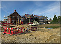
Houses under construction, Waterbeach
Part of a significant expansion of the village following the closing of the barracks.
Image: © Hugh Venables
Taken: 20 Jul 2017
0.05 miles
2
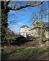
Waterbeach: part of a new estate
Part-built houses on the Drovers Way estate being built on agricultural land between the existing village and the former Waterbeach Barracks. This view from Bannold Drove was taken on a sunny February morning.
Image: © John Sutton
Taken: 11 Feb 2018
0.06 miles
3
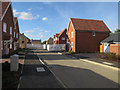
New housing at Waterbeach
Filling in between Bannold Road and the former barracks housing.
Image: © Hugh Venables
Taken: 20 Jul 2017
0.06 miles
4
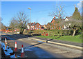
Waterbeach: The Lancasters, Bannold Road
New houses are being built on agricultural land between the existing village and the former Waterbeach Barracks (originally RAF Waterbeach). This estate presumably takes its name from the Lancaster bombers flown from Waterbeach from 1943-5 by 514 Squadron.
Image: © John Sutton
Taken: 11 Feb 2018
0.07 miles
5
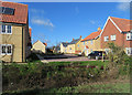
Waterbeach: new houses on Harvey Way
The Drovers Way estate is being built on agricultural land between the existing village and the former Waterbeach Barracks. This view from Bannold Drove was taken on a sunny February morning.
Image: © John Sutton
Taken: 11 Feb 2018
0.08 miles
6
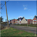
Waterbeach: the Drovers Way estate
A new estate being built on agricultural land bounded to the south and east by Bannold Road (in the foreground) and Bannold Drove (offstage right).
Image: © John Sutton
Taken: 11 Feb 2018
0.08 miles
7
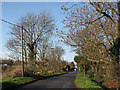
The start of Bannold Drove
Taken from the corner of Bannold Road on a sparkling November morning. A short way north this road becomes an unmetalled track out into the fen.
Image: © John Sutton
Taken: 25 Nov 2011
0.09 miles
8
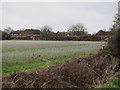
Waterbeach Barracks
The barracks, home to 39 Engineer Regiment, is to close by 2015 and be sold off for housing.
Image: © Hugh Venables
Taken: 18 Mar 2012
0.09 miles
9
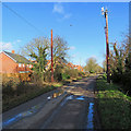
Waterbeach: new houses and new poles
New houses are being built on agricultural land between the existing village and the former Waterbeach Barracks. By way of comparison, see Image], taken from more or less the same spot in November 2011.
Image: © John Sutton
Taken: 11 Feb 2018
0.09 miles
10
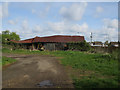
Old barn by Bannold Road
Sold for redevelopment.
Image: © Hugh Venables
Taken: 15 Apr 2017
0.10 miles