
IMAGES TAKEN NEAR TO
Silver Street, CAMBRIDGE, CB25 0EF
Introduction
This page details the photographs taken nearby to Silver Street, CB25 0EF by members of the Geograph project.
The Geograph project started in 2005 with the aim of publishing, organising and preserving representative images for every square kilometre of Great Britain, Ireland and the Isle of Man.

There are currently over 7.5m images from over14,400 individuals and you can help contribute to the project by visiting https://www.geograph.org.uk
Image Map
Images are licensed for reuse under creativecommons.org/licenses/by-sa/2.0
Notes
- Clicking on the map will re-center to the selected point.
- The higher the marker number, the further away the image location is from the centre of the postcode.
Image Listing (49 Images Found)
Images are licensed for reuse under creativecommons.org/licenses/by-sa/2.0
Image
Details
Distance
1
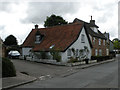
Cottage in North Street
On the corner of New Road. Not listed.
Image: © Keith Edkins
Taken: 10 Aug 2017
0.05 miles
2
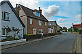
Burwell: south along North Street
Near the corner of New Road.
Image: © John Sutton
Taken: 4 Aug 2022
0.05 miles
3
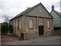
Former Primitive Methodist Chapel
Built in 1836, and rebuilt in 1864 the chapel was closed in 1939, when the congregation was united with the Wesleyan Methodists. In 1940 the building was sold for use as a packaging factory, and then used for furniture storage.
Image: © Tony Lewis
Taken: 26 Sep 2007
0.07 miles
4
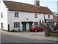
41, North Street
Formerly a row of three cottages, now combined into one, said to have been built in the 17th century, and rebuilt 1831. The plaque set above the doors is inscribed W.R.R. 1831, probably William Ridgewell, whose family were well known boatmen
Image: © Tony Lewis
Taken: 12 Sep 2007
0.07 miles
5
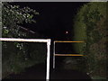
Alley linking Silver Street to Westhorpe
The alley way that links Silver Street to Westhorpe. The white and yellow railings are a distinctive feature in the village of Burwell.
Image: © Ajay Tegala
Taken: 4 Aug 2002
0.07 miles
8
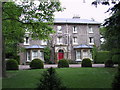
Burwell House
Burwell House, located in between North Street and Silver Street.
Image: © Ajay Tegala
Taken: 29 May 2003
0.11 miles
10
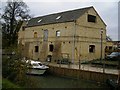
Priory Farm barn
Formerly the site of a coal and timber wharf operated by the Ball family, the barn was later used as a grain store and drying plant. Now being converted to residential use
Image: © Tony Lewis
Taken: 7 Nov 2007
0.13 miles