IMAGES TAKEN NEAR TO
New Road, CAMBRIDGE, CB24 9PJ
Introduction
This page details the photographs taken nearby to New Road, CB24 9PJ by members of the Geograph project.
The Geograph project started in 2005 with the aim of publishing, organising and preserving representative images for every square kilometre of Great Britain, Ireland and the Isle of Man.

There are currently over 7.5m images from over14,400 individuals and you can help contribute to the project by visiting https://www.geograph.org.uk
Image Map
Images are licensed for reuse under creativecommons.org/licenses/by-sa/2.0
Notes
- Clicking on the map will re-center to the selected point.
- The higher the marker number, the further away the image location is from the centre of the postcode.
Image Listing (12 Images Found)
Images are licensed for reuse under creativecommons.org/licenses/by-sa/2.0
Image
Details
Distance
1
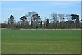
Field near Fieldstead Farm
The area was opened up to the public as part of a process to oppose the sewage works moving here from Milton. That won't come here, but a busway from Waterbeach and/or an expansion of the Cambridge Science Park are still possible.
Image: © Hugh Venables
Taken: 12 Sep 2020
0.04 miles
2
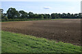
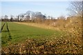
Field by Fieldstead Farm
The area was opened up to the public as part of a process to oppose the sewage works moving here from Milton. That won't come here, but a busway from Waterbeach and/or an expansion of the Cambridge Science Park are still possible.
Image: © Hugh Venables
Taken: 12 Sep 2020
0.06 miles
3
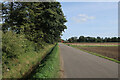
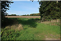
Track to Fieldstead Farm
The area was opened up to the public as part of a process to oppose the sewage works moving here from Milton. That won't come here, but a busway from Waterbeach and/or an expansion of the Cambridge Science Park are still possible.
Image: © Hugh Venables
Taken: 12 Sep 2020
0.09 miles
4
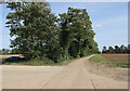
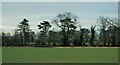
Track east of Histon and Impington
The area was opened up to the public as part of a process to oppose the sewage works moving here from Milton. That won't come here, but a busway from Waterbeach and/or an expansion of the Cambridge Science Park are still possible.
Image: © Hugh Venables
Taken: 12 Sep 2020
0.12 miles
6
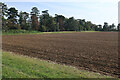
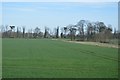
Field near Fieldstead Farm
The area was opened up to the public as part of a process to oppose the sewage works moving here from Milton. That won't come here, but a busway from Waterbeach and/or an expansion of the Cambridge Science Park are still possible.
Image: © Hugh Venables
Taken: 12 Sep 2020
0.21 miles
7
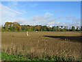
Teasels, memorial stone and autumn leaves
This Grade II listed memorial stone, seen from the cycle path beside the guided busway, commemorates Mrs Eliza Woodcock of Impington, who survived being buried for eight days in a snowdrift in 1799. Rob Noble's Image] is a close-up.
Image: © John Sutton
Taken: 23 Oct 2020
0.21 miles