IMAGES TAKEN NEAR TO
Southwaite, CARLISLE, CA4 0LQ
Introduction
This page details the photographs taken nearby to CA4 0LQ by members of the Geograph project.
The Geograph project started in 2005 with the aim of publishing, organising and preserving representative images for every square kilometre of Great Britain, Ireland and the Isle of Man.

There are currently over 7.5m images from over14,400 individuals and you can help contribute to the project by visiting https://www.geograph.org.uk
Image Map
Images are licensed for reuse under creativecommons.org/licenses/by-sa/2.0
Notes
- Clicking on the map will re-center to the selected point.
- The higher the marker number, the further away the image location is from the centre of the postcode.
Image Listing (4 Images Found)
Images are licensed for reuse under creativecommons.org/licenses/by-sa/2.0
Image
Details
Distance
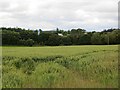
1
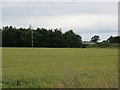
Wheat near Intack
Field now beside the M6 with an overbridge in the background.
Image: © Richard Webb
Taken: 28 Jun 2014
0.24 miles
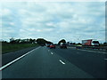
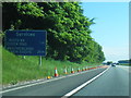
3
Wheat near Southwaite
A view of the M6 near Hackingbag.
Ditch the windscreen, you get better placenames off the motorway.
Image: © Richard Webb
Taken: 28 Jun 2014
0.24 miles