IMAGES TAKEN NEAR TO
High Lorton, COCKERMOUTH, CA13 9TU
Introduction
This page details the photographs taken nearby to CA13 9TU by members of the Geograph project.
The Geograph project started in 2005 with the aim of publishing, organising and preserving representative images for every square kilometre of Great Britain, Ireland and the Isle of Man.

There are currently over 7.5m images from over14,400 individuals and you can help contribute to the project by visiting https://www.geograph.org.uk
Image Map (8 Images)
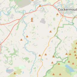
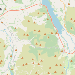
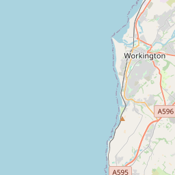
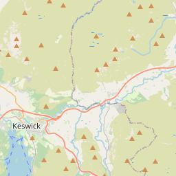
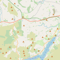

Leaflet Map data © OpenStreetMap
Images are licensed for reuse under creativecommons.org/licenses/by-sa/2.0
Notes
- Clicking on the map will re-center to the selected point.
- The higher the marker number, the further away the image location is from the centre of the postcode.
Image Listing (8 Images Found)
Images are licensed for reuse under creativecommons.org/licenses/by-sa/2.0
Image
Details
Distance
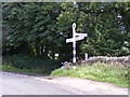
2
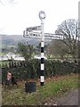
Old Direction Sign - Signpost by the B5292, High Lorton
Annulus finial - 3 arms; by the B5292, in parish of Lorton (Allerdale District), High Lorton, on grass verge.
Surveyed
Milestone Society National ID: CU_NY1625
Image: © Milestone Society
Taken: Unknown
0.03 miles
3
High Lorton Junction
The view from the B5292 on the Cockermouth to Braithwaite road over Whinlatter Pass.
Image: © Gordon Griffiths
Taken: 11 Sep 2012
0.04 miles
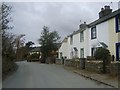
4
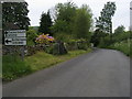
B5292 High Lorton
B5292 at High Lorton
Image: © Shaun Ferguson
Taken: 28 May 2009
0.07 miles
5
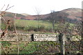
Footpath not to Fell
This pointless footpath is pretty much disused
Image: © Bob Jenkins
Taken: 14 Dec 2005
0.08 miles
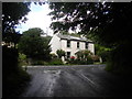
6
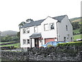
High Lorton - B&B
Beautiful meadows behind, going up to the meadows
Image: © Paula Goodfellow
Taken: Unknown
0.12 miles
7
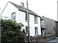
Acorn Cottage in High Lorton
Methodist meeting house to the right.
Image: © Paula Goodfellow
Taken: Unknown
0.13 miles
8
High Lorton
Pleasant village above the River Cocker in Lorton Vale
Image: © Michael Graham
Taken: 28 Feb 2010
0.22 miles