High Lorton - B&B
Introduction
The photograph on this page of High Lorton - B&B by Paula Goodfellow as part of the Geograph project.
The Geograph project started in 2005 with the aim of publishing, organising and preserving representative images for every square kilometre of Great Britain, Ireland and the Isle of Man.

There are currently over 7.5m images from over 14,400 individuals and you can help contribute to the project by visiting https://www.geograph.org.uk
High Lorton - B&B
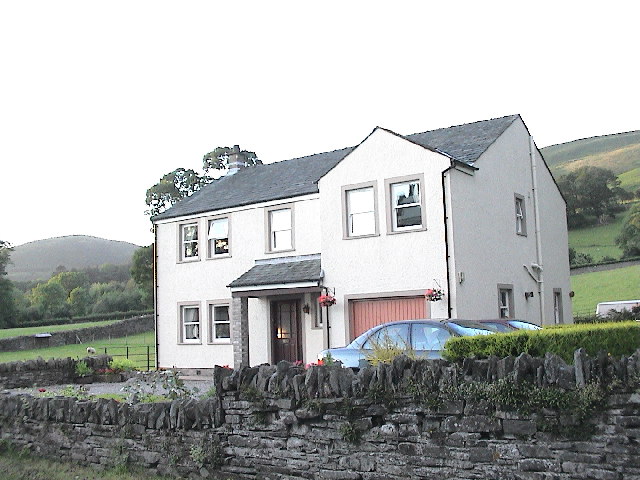
Image: © Paula Goodfellow Taken: Unknown
Beautiful meadows behind, going up to the meadows
Images are licensed for reuse under creativecommons.org/licenses/by-sa/2.0
Image Location
Latitude
54.62096
Longitude
-3.30227