
IMAGES TAKEN NEAR TO
Clara Road, BELFAST, BT5 6FN
Introduction
This page details the photographs taken nearby to Clara Road, BT5 6FN by members of the Geograph project.
The Geograph project started in 2005 with the aim of publishing, organising and preserving representative images for every square kilometre of Great Britain, Ireland and the Isle of Man.

There are currently over 7.5m images from over14,400 individuals and you can help contribute to the project by visiting https://www.geograph.org.uk
Image Map
Images are licensed for reuse under creativecommons.org/licenses/by-sa/2.0
Notes
- Clicking on the map will re-center to the selected point.
- The higher the marker number, the further away the image location is from the centre of the postcode.
Image Listing (63 Images Found)
Images are licensed for reuse under creativecommons.org/licenses/by-sa/2.0
Image
Details
Distance
1
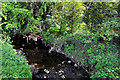
The Knock River, Belfast (6)
See Image The river, looking upstream, as it flows (almost hidden from public view) past Clara Road. Continue to Image
Image: © Albert Bridge
Taken: 21 Apr 2011
0.05 miles
2
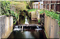
The Knock River, Belfast (4)
See Image A weir on the Knock River immediately before it flows under the Sandown Road. Continue to Image
Image: © Albert Bridge
Taken: 1 Apr 2011
0.05 miles
3
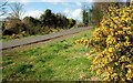
The Comber Greenway (1)
See Image The Comber Greenway is a path along the old Belfast and County Down Railway line to Comber and Donaghadee/Newcastle. This is the view back towards the old Neill’s Hill station on the Sandown Road Image
Image: © Albert Bridge
Taken: 30 Mar 2008
0.05 miles
4
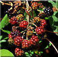
Blackberries, Belfast
Ripening blackberries along the Comber Greenway, close to the Sandown Road.
Image: © Albert Bridge
Taken: 15 Aug 2011
0.06 miles
5
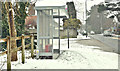
Bus shelter and snow, Belfast (March 2018)
The bus shelter close to the corner of the Sandown Road and Sandown Park South. Taken a few minutes after noon as the snow was easing. Much warmer than in the past few days, there was a slow thaw leading to slush on the roads and soft snow on the footpaths.
Image: © Albert Bridge
Taken: 3 Mar 2018
0.07 miles
6
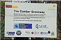
Old railway, Belfast (3)
See Image The old line is to be converted to a path and cycle track - the "Comber Greenway". The Comber end of the line was subsumed in the bypass Image
Image: © Albert Bridge
Taken: 11 Feb 2008
0.07 miles
7
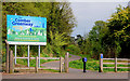
Former Neill's Hill level crossing, Belfast
See Image The site of the level crossing on the Sandown Road. The view is towards Comber along what is now the Comber Greenway. Continue to Image – January 2012.
Image: © Albert Bridge
Taken: 4 May 2010
0.07 miles
8
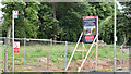
No 86 Sandown Road, Belfast (August 2016)
The derelict house was demolished recently leaving this vacant site. Now offered for sale and described by the agent as “Full Planning Permission was granted on 14th April 2016 for a detached dwelling of c. 3,700 sq ft. We have drawings detailed in this brochure. Please contact the South Belfast office for further information. Please note that planning reference is Z/2014/1544/F”. This photograph appears as a matter of record only. I have no connection with any of the parties involved in the sale.
Image: © Albert Bridge
Taken: 5 Aug 2016
0.08 miles
9
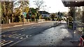
New Toucan crossing Sandown Road
New pedestrian Toucan crossing at the junction of the Sandown Road and the Start of the Comber Greenway.
This is the location of the disused Neills Hill railway station and level crossing
The project to improve the area also included the relocation of the bus stop on the right hand side of the photograph
Image: © John Thompson
Taken: 2 Dec 2014
0.08 miles
10
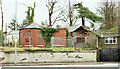
No 86 Sandown Road, Belfast - November 2015(2)
The derelict house, now enclosed by fencing, seen from the west.
Image: © Albert Bridge
Taken: 29 Nov 2015
0.08 miles