The Comber Greenway (1)
Introduction
The photograph on this page of The Comber Greenway (1) by Albert Bridge as part of the Geograph project.
The Geograph project started in 2005 with the aim of publishing, organising and preserving representative images for every square kilometre of Great Britain, Ireland and the Isle of Man.

There are currently over 7.5m images from over 14,400 individuals and you can help contribute to the project by visiting https://www.geograph.org.uk
The Comber Greenway (1)
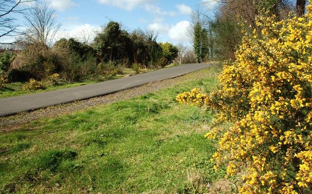
Image: © Albert Bridge Taken: 30 Mar 2008
See Image The Comber Greenway is a path along the old Belfast and County Down Railway line to Comber and Donaghadee/Newcastle. This is the view back towards the old Neill’s Hill station on the Sandown Road Image
Images are licensed for reuse under creativecommons.org/licenses/by-sa/2.0
Image Location
Latitude
54.590238
Longitude
-5.863748