
IMAGES TAKEN NEAR TO
Sevenoaks Road, ORPINGTON, BR6 9JL
Introduction
This page details the photographs taken nearby to Sevenoaks Road, BR6 9JL by members of the Geograph project.
The Geograph project started in 2005 with the aim of publishing, organising and preserving representative images for every square kilometre of Great Britain, Ireland and the Isle of Man.

There are currently over 7.5m images from over14,400 individuals and you can help contribute to the project by visiting https://www.geograph.org.uk
Image Map
Images are licensed for reuse under creativecommons.org/licenses/by-sa/2.0
Notes
- Clicking on the map will re-center to the selected point.
- The higher the marker number, the further away the image location is from the centre of the postcode.
Image Listing (135 Images Found)
Images are licensed for reuse under creativecommons.org/licenses/by-sa/2.0
Image
Details
Distance
1
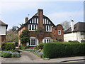
House in Sevenoaks Road
This house is very different from its neighbours. Below the chimney is a plaque stating the year 1905.
Image: © Ian Capper
Taken: 22 Apr 2008
0.02 miles
2
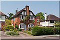
48 Sevenoaks Road
According to a plaque below the chimney, this house was built in 1905. Locally listed.
Image: © Ian Capper
Taken: 22 May 2012
0.02 miles
3
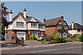
48-50 Sevenoaks Road
A pair of Edwardian houses in Sevenoaks Road. For clsoer view of no 48 see Image
Image: © Ian Capper
Taken: 22 May 2012
0.03 miles
4
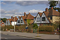
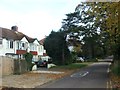
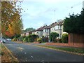
Sevenoaks Road
A group of semis in a tow large gabled design that recurs in a number of roads nearby.
Image: © Ian Capper
Taken: 15 Mar 2010
0.04 miles
7
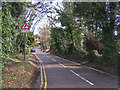
Goddington Lane
See Image for background. This western end, viewed from its junction with Sevenoaks Road, manages to retain some of its "lane" appearance, with trees alongside and no pavement.
Image: © Ian Capper
Taken: 12 Feb 2009
0.05 miles
9
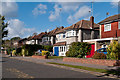
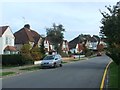
The Avenue
The continuation of Park Avenue (see Image) over Sevenoaks Road.
Image: © Ian Capper
Taken: 16 Oct 2012
0.07 miles
10
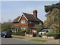
The Lodge, Park Avenue
Old maps and photos show the present Park Avenue as the access route to Goddington, the other side of the present route of Court Road, the A224 Orpington bypass. It also extended the other side of Sevenoaks Road towards Orpington Station, along the route of a road still known as "The Avenue" (see Image). The maps date this route as being from the late 19th century.
The same maps and photos show this building, "The Lodge", on this route, at the junction of the present Park Avenue and Sevenoaks Road, predating the development of much of Sevenoaks Road, with the clear impression that this was the lodge for Goddington.
Image: © Ian Capper
Taken: 22 Apr 2008
0.07 miles