
IMAGES TAKEN NEAR TO
Clovelly Way, ORPINGTON, BR6 0WD
Introduction
This page details the photographs taken nearby to Clovelly Way, BR6 0WD by members of the Geograph project.
The Geograph project started in 2005 with the aim of publishing, organising and preserving representative images for every square kilometre of Great Britain, Ireland and the Isle of Man.

There are currently over 7.5m images from over14,400 individuals and you can help contribute to the project by visiting https://www.geograph.org.uk
Image Map
Images are licensed for reuse under creativecommons.org/licenses/by-sa/2.0
Notes
- Clicking on the map will re-center to the selected point.
- The higher the marker number, the further away the image location is from the centre of the postcode.
Image Listing (56 Images Found)
Images are licensed for reuse under creativecommons.org/licenses/by-sa/2.0
Image
Details
Distance
1
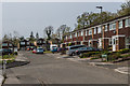
Clovelly Way
1970s housing in total contrast to Covet Wood and Poverest Recreation Ground which it backs onto.
Image: © Ian Capper
Taken: 24 Apr 2015
0.03 miles
2
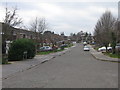
Clovelly Way
1970s housing in total contrast to Covet Wood and Poverest Recreation Ground which it backs onto.
Image: © Ian Capper
Taken: 29 Jan 2008
0.03 miles
3
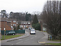
Cotswold Rise
Built in the 1970s on what was open land. Behind is Covet Wood, which itself was vulnerable to further house building until saved by a local residents' campaign (see Image).
Image: © Ian Capper
Taken: 17 Feb 2009
0.05 miles
4
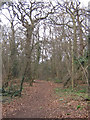
Covet Wood
A sizeable patch of ancient woodland, in contrast to the built up area to the south, west and north. Between 1973 and 1986 it was itself subject to planning applications and public inquiries, strongly opposed by the Petts Wood Residents Association, before eventually being purchased by Bromley Borough Council in 1991.
Image: © Ian Capper
Taken: 29 Jan 2008
0.08 miles
5
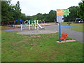
Playground in Poverest Recreation Ground
The playground is in Poverset recreation Ground. Covert Wood appears behind. Half of the open space is devoted to Poverest Recreation Ground whilst the north-western half is Covert Wood.
Image: © Marathon
Taken: 5 Aug 2011
0.08 miles
6
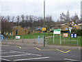
Perry Hall Primary School
Built in the 1970s, replacing two schools in Chislehurst Road (see Image).
Image: © Ian Capper
Taken: 29 Jan 2008
0.09 miles
7
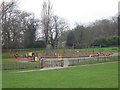
Playground in Poverest Recreation Ground
Image: © Ian Capper
Taken: 29 Jan 2008
0.10 miles
9
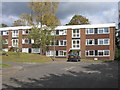
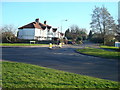
Marlborough Close
A 1970s (?) development of flats in what was vacant land at the junction of Crofton Lane and Chislehurst Road.
Image: © Ian Capper
Taken: 2 Oct 2008
0.10 miles
10
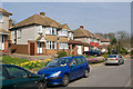
Scads Hill Close
A post war cul de sac off Chislehurst Road.
Image: © Ian Capper
Taken: 25 Mar 2011
0.10 miles