IMAGES TAKEN NEAR TO
Mungo Park Way, ORPINGTON, BR5 4EG
Introduction
This page details the photographs taken nearby to Mungo Park Way, BR5 4EG by members of the Geograph project.
The Geograph project started in 2005 with the aim of publishing, organising and preserving representative images for every square kilometre of Great Britain, Ireland and the Isle of Man.

There are currently over 7.5m images from over14,400 individuals and you can help contribute to the project by visiting https://www.geograph.org.uk
Image Map
Images are licensed for reuse under creativecommons.org/licenses/by-sa/2.0
Notes
- Clicking on the map will re-center to the selected point.
- The higher the marker number, the further away the image location is from the centre of the postcode.
Image Listing (14 Images Found)
Images are licensed for reuse under creativecommons.org/licenses/by-sa/2.0
Image
Details
Distance
1
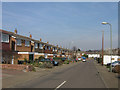
Finucane Drive
Part of the 1960s Grassmead Estate, built on the site of a large house here, Grassmead House, which in its later years housed St Philomena's Convent High School.
The roads in this estate are named after airmen who died in the Battle of Britain. For a biography of F/O B E F (Paddy) Finucane, see http://www.bbm.org.uk/as-finucane.htm. The road visible off to the right from this road is Beamish Drive, commemorating Wing Commander F V Beamish and in the background is Mungo Park Way, commemorating F/LT J C Mungo Park - see http://www.bbm.org.uk/as-mungopark.htm.
Image: © Ian Capper
Taken: 18 Mar 2009
0.15 miles
2
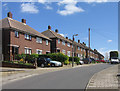
Brow Crescent
A development in the Ramsden area, with these houses built in 1956.
Image: © Ian Capper
Taken: 29 Apr 2009
0.16 miles
3
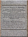
Plaque, Grassmead Estate
Close up of the plaque visible in Image listing the airmen commemorated by road names in the 1960s Grassmead Estate.
Image: © Ian Capper
Taken: 31 Mar 2009
0.19 miles
4
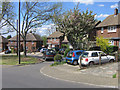
Brow Crescent
Development in the Ramsden area, with these houses dating from 1956.
Image: © Ian Capper
Taken: 29 Apr 2009
0.20 miles
5
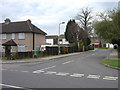
Mungo Park Way
Entrance into the 1960s Grassmead Estate, built on the site of a large house here, Grassmead House, which in its later years housed St Philomena's Convent High School. The roads in this estate are named after airmen who died in the Battle of Britain, as explained on the plaque visible beyond the postbox in this photo (see Image). Mungo Park Way commemorates F/LT J C Mungo Park - see http://www.bbm.org.uk/as-mungopark.htm.
Image: © Ian Capper
Taken: 31 Mar 2009
0.20 miles
6
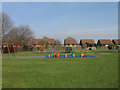
Playground, Grassmead Recreation Ground
Part of an open space north of the Ramsden Estate. The houses behind are in Stanton Close.
Image: © Ian Capper
Taken: 18 Mar 2009
0.21 miles
7
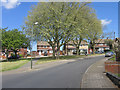
Brow Crescent
Development in the Ramsden area, with these houses dating from 1956.
Image: © Ian Capper
Taken: 29 Apr 2009
0.21 miles
9
Petten Grove
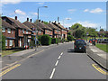
Viewed from its junction with Brow Crescent. These houses were built in 1956. Old maps show a house called Petting Grove at the far end of the present road, where it meets Chelsfield Lane, which is presumably the origin of the name of the road.
Image: © Ian Capper
Taken: 29 Apr 2009
0.22 miles