
IMAGES TAKEN NEAR TO
Greencourt Road, ORPINGTON, BR5 1QN
Introduction
This page details the photographs taken nearby to Greencourt Road, BR5 1QN by members of the Geograph project.
The Geograph project started in 2005 with the aim of publishing, organising and preserving representative images for every square kilometre of Great Britain, Ireland and the Isle of Man.

There are currently over 7.5m images from over14,400 individuals and you can help contribute to the project by visiting https://www.geograph.org.uk
Image Map
Images are licensed for reuse under creativecommons.org/licenses/by-sa/2.0
Notes
- Clicking on the map will re-center to the selected point.
- The higher the marker number, the further away the image location is from the centre of the postcode.
Image Listing (56 Images Found)
Images are licensed for reuse under creativecommons.org/licenses/by-sa/2.0
Image
Details
Distance
1
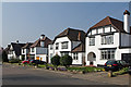
Greencourt Road
Part of the 1930s development of Petts Wood.
Image: © Ian Capper
Taken: 25 Mar 2011
0.02 miles
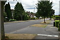
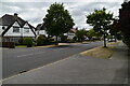
4
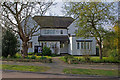
Friends Meeting House, Ladywood Avenue
Originally a prep school, Petts Wood School, purpose built for the role, it opened as the Friends Meeting House in 1958, following the retirement of the two ladies who ran the school and its consequent closure.
Image: © Ian Capper
Taken: 25 Mar 2011
0.07 miles
5
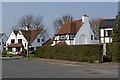
Princes Avenue
Mock Tudor houses built by master builder Noel Rees as part of the 1930s development of Petts Wood.
Image: © Ian Capper
Taken: 25 Mar 2011
0.08 miles
6
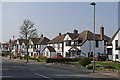
Princes Avenue
Part of the 1930s development of Petts Wood, this area developed by master builder Noel Rees.
Image: © Ian Capper
Taken: 25 Mar 2011
0.08 miles
8
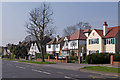
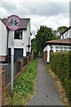
Petts Wood Road
Part of the 1930s development of Petts Wood. The footpath leads to Kingsway.
Image: © Ian Capper
Taken: 25 Mar 2011
0.09 miles
9
Ladywood Avenue
Part of the 1930s development of Petts Wood. Ladywood Avenue was named after a large house, Ladywood House, which had stood nearby.
Image: © Ian Capper
Taken: 25 Mar 2011
0.09 miles
10
Ladywood Avenue
Part of the 1930s development of Petts Wood. These were built by the building firm Reed and Hoad.
Image: © Ian Capper
Taken: 25 Mar 2011
0.09 miles