IMAGES TAKEN NEAR TO
Arragon Gardens, WEST WICKHAM, BR4 9LJ
Introduction
This page details the photographs taken nearby to Arragon Gardens, BR4 9LJ by members of the Geograph project.
The Geograph project started in 2005 with the aim of publishing, organising and preserving representative images for every square kilometre of Great Britain, Ireland and the Isle of Man.

There are currently over 7.5m images from over14,400 individuals and you can help contribute to the project by visiting https://www.geograph.org.uk
Image Map
Images are licensed for reuse under creativecommons.org/licenses/by-sa/2.0
Notes
- Clicking on the map will re-center to the selected point.
- The higher the marker number, the further away the image location is from the centre of the postcode.
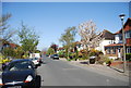
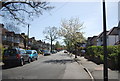
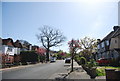
Image Listing (32 Images Found)
Images are licensed for reuse under creativecommons.org/licenses/by-sa/2.0
Image
Details
Distance
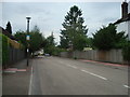
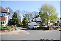
2
Copse Avenue
Heading uphill to Spring Bank.
Image: © N Chadwick
Taken: 9 Apr 2011
0.09 miles
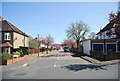
5
The course of The Beck east of Oak Avenue, CR0
There was water in the stream bed about 50 yards to the north - see Image
Image: © Mike Quinn
Taken: 16 Jun 2010
0.12 miles
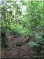
6
Footpath in the wood east of Bracken Avenue, CR0
Image: © Mike Quinn
Taken: 16 Jun 2010
0.13 miles
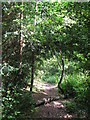
7
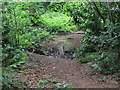
Footpath crossing The Beck in the wood east of Oak Avenue, CR0
Image: © Mike Quinn
Taken: 16 Jun 2010
0.14 miles
8
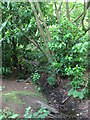
The Beck east of Oak Avenue, CR0
This is the furthest point south that I found water in the stream bed (June 2010).
Image: © Mike Quinn
Taken: 16 Jun 2010
0.14 miles