IMAGES TAKEN NEAR TO
Roman Way, BR3 3UR
Introduction
This page details the photographs taken nearby to Roman Way, BR3 3UR by members of the Geograph project.
The Geograph project started in 2005 with the aim of publishing, organising and preserving representative images for every square kilometre of Great Britain, Ireland and the Isle of Man.

There are currently over 7.5m images from over14,400 individuals and you can help contribute to the project by visiting https://www.geograph.org.uk
Image Map
Images are licensed for reuse under creativecommons.org/licenses/by-sa/2.0
Notes
- Clicking on the map will re-center to the selected point.
- The higher the marker number, the further away the image location is from the centre of the postcode.
Image Listing (61 Images Found)
Images are licensed for reuse under creativecommons.org/licenses/by-sa/2.0
Image
Details
Distance
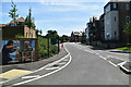
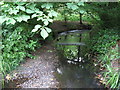
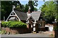
2
South Eden Park Road, BR3
The green iron rails mark where The Beck passes under the road - see Image
Image: © Mike Quinn
Taken: 17 Jun 2010
0.06 miles
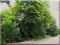
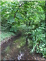
3
The Beck north of South Eden Park Road, BR3 (3)
Image: © Mike Quinn
Taken: 17 Jun 2010
0.06 miles
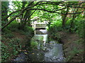
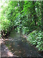
5
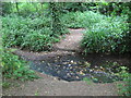
Ford on The Beck north of South Eden Park Road, BR3
Image: © Mike Quinn
Taken: 17 Jun 2010
0.07 miles
6
The Beck north of South Eden Park Road, BR3 (3)
Image: © Mike Quinn
Taken: 17 Jun 2010
0.07 miles
7
The Beck north of South Eden Park Road, BR3
Image: © Mike Quinn
Taken: 17 Jun 2010
0.08 miles
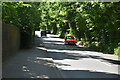
8
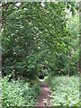
Path in the wood south of Stone Park Avenue, BR3 (2)
Image: © Mike Quinn
Taken: 17 Jun 2010
0.08 miles
10
The Beck north of South Eden Park Road, BR3 (2)
Image: © Mike Quinn
Taken: 17 Jun 2010
0.09 miles