IMAGES TAKEN NEAR TO
Cromwell Avenue, BROMLEY, BR2 9AG
Introduction
This page details the photographs taken nearby to Cromwell Avenue, BR2 9AG by members of the Geograph project.
The Geograph project started in 2005 with the aim of publishing, organising and preserving representative images for every square kilometre of Great Britain, Ireland and the Isle of Man.

There are currently over 7.5m images from over14,400 individuals and you can help contribute to the project by visiting https://www.geograph.org.uk
Image Map
Images are licensed for reuse under creativecommons.org/licenses/by-sa/2.0
Notes
- Clicking on the map will re-center to the selected point.
- The higher the marker number, the further away the image location is from the centre of the postcode.
Image Listing (92 Images Found)
Images are licensed for reuse under creativecommons.org/licenses/by-sa/2.0
Image
Details
Distance
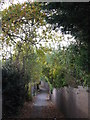
1
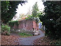
Junction in the footpaths between Hayes Lane and Cromwell Close, BR2
Image: © Mike Quinn
Taken: 12 Nov 2009
0.04 miles
2
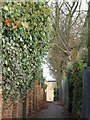
Footpath between Hayes Lane and Cromwell Close, BR2 (3)
Image: © Mike Quinn
Taken: 12 Nov 2009
0.04 miles
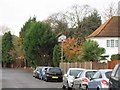
3
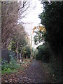
Footpath between Hayes Lane and Cromwell Close, BR2
Image: © Mike Quinn
Taken: 12 Nov 2009
0.04 miles
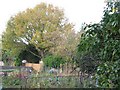
4
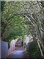
Footpath between Hayes Lane and Cromwell Close, BR2 (4)
Image: © Mike Quinn
Taken: 12 Nov 2009
0.05 miles

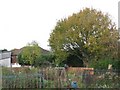
6
Footpath between Hayes Lane and Cromwell Close, BR2 (2)
Image: © Mike Quinn
Taken: 12 Nov 2009
0.06 miles
10
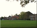
Ravensbourne School, Hayes Lane, BR2 (2)
See also Image
Image: © Mike Quinn
Taken: 12 Nov 2009
0.12 miles