
IMAGES TAKEN NEAR TO
Mill Brooks, LEWES, BN8 4BY
Introduction
This page details the photographs taken nearby to Mill Brooks, BN8 4BY by members of the Geograph project.
The Geograph project started in 2005 with the aim of publishing, organising and preserving representative images for every square kilometre of Great Britain, Ireland and the Isle of Man.

There are currently over 7.5m images from over14,400 individuals and you can help contribute to the project by visiting https://www.geograph.org.uk
Image Map
Images are licensed for reuse under creativecommons.org/licenses/by-sa/2.0
Notes
- Clicking on the map will re-center to the selected point.
- The higher the marker number, the further away the image location is from the centre of the postcode.
Image Listing (47 Images Found)
Images are licensed for reuse under creativecommons.org/licenses/by-sa/2.0
Image
Details
Distance
1
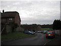
Mill Brooks, South Chailey
A modern cul-de-sac leading off Mill Lane. Part of Chailey Secondary School playing fields are also in view. Taken about five minutes after sunrise.
Image: © Simon Carey
Taken: 2 Jan 2011
0.05 miles
2
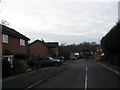
Whitegates Close, South Chailey
Modern cul-de-sac off the A275 named after the house on whose land the close was built.
Image: © Simon Carey
Taken: 2 Jan 2011
0.05 miles
3
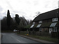
St John's Close, South Chailey
Originally a chapel of ease built in 1895 which seems to have become redundant in the 1970s when it had become a hall. Now converted into housing and located on the southern side of the Mill Lane at the junction with the A275.
Image: © Simon Carey
Taken: 2 Jan 2011
0.06 miles
4
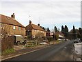
Mill Lane, South Chailey
Looking towards the junction with the A275. Originally the lane was a quiet rural one leading across Chailey South Common towards the windmill then beyond to East Chiltington and Plumpton. The common was enclosed in the mid 19th century with the small community gradually growing up around the nearby Chailey Potteries during the mid 20th century.
Image: © Simon Carey
Taken: 26 Dec 2010
0.07 miles
5
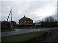
Mycroft, Mill Lane, South Chailey
The name of the house that lies on the northern side of the junction of Mill Lane and the A275. It was originally the village police station.
Image: © Simon Carey
Taken: 2 Jan 2011
0.08 miles
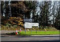
7
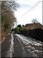
Brickyard Lane, South Chailey
Small private road that seems to have been the site of a recent battle over access as a right of way footpath with a number of local residents fighting against plans by the non-resident owner to block off access to the woods at the rear of the lane. As the name suggests this part of South Common lies on the clay belt and has a long history as a brickworks and a pottery.
Image: © Simon Carey
Taken: 26 Dec 2010
0.09 miles
8
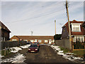
St John's Bank, South Chailey
Cul-de-sac off Mill Lane named after the former chapel at ease which lay opposite.
Image: © Simon Carey
Taken: 26 Dec 2010
0.11 miles
9
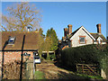
Mill House, Mill Lane, South Chailey
The house and converted barn lies next to the field that contains Image As the windmill did not arrive at that spot until 1808 I'm guessing the house was constructed soon after.
Image: © Simon Carey
Taken: 19 Jan 2011
0.12 miles
10
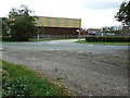
Chailey Secondary School
On Mill Lane South Chailey.
Image: © Dave Spicer
Taken: 7 Sep 2011
0.13 miles