Mycroft, Mill Lane, South Chailey
Introduction
The photograph on this page of Mycroft, Mill Lane, South Chailey by Simon Carey as part of the Geograph project.
The Geograph project started in 2005 with the aim of publishing, organising and preserving representative images for every square kilometre of Great Britain, Ireland and the Isle of Man.

There are currently over 7.5m images from over 14,400 individuals and you can help contribute to the project by visiting https://www.geograph.org.uk
Mycroft, Mill Lane, South Chailey
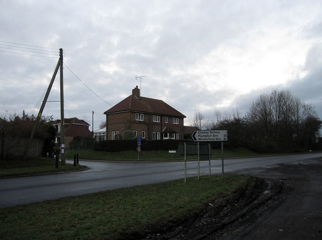
Image: © Simon Carey Taken: 2 Jan 2011
The name of the house that lies on the northern side of the junction of Mill Lane and the A275. It was originally the village police station.
Images are licensed for reuse under creativecommons.org/licenses/by-sa/2.0
Image Location
Latitude
50.940121
Longitude
-0.023834