
IMAGES TAKEN NEAR TO
East Chiltington, LEWES, BN7 3QU
Introduction
This page details the photographs taken nearby to BN7 3QU by members of the Geograph project.
The Geograph project started in 2005 with the aim of publishing, organising and preserving representative images for every square kilometre of Great Britain, Ireland and the Isle of Man.

There are currently over 7.5m images from over14,400 individuals and you can help contribute to the project by visiting https://www.geograph.org.uk
Image Map
Images are licensed for reuse under creativecommons.org/licenses/by-sa/2.0
Notes
- Clicking on the map will re-center to the selected point.
- The higher the marker number, the further away the image location is from the centre of the postcode.
Image Listing (27 Images Found)
Images are licensed for reuse under creativecommons.org/licenses/by-sa/2.0
Image
Details
Distance
1
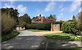
Lower Burrells
Lower Burrells on Chiltington Lane.
Image: © Chris Thomas-Atkin
Taken: 16 Apr 2018
0.01 miles
2
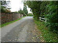
Boundary wall of Lower Burrells at Chiltington
Image: © Dave Spicer
Taken: 7 Sep 2011
0.02 miles
3
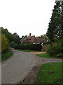
Lower Burrells
Viewed from Chiltington Lane. The house dates from the early 17th century with an extension added not long after the original construction.
Image: © Simon Carey
Taken: 30 Oct 2009
0.04 miles
4
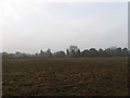
Barn Field
The name of this section of the field according to the 1842 tithe map that has been enlarged to incorporate Wickens Mead to the west and the Long Four Acres and Lower Meadow to the east. The house beyond the far end of the field is Lower Burrells whilst everything beyond has been obscured by the early morning fog.
Image: © Simon Carey
Taken: 30 Oct 2009
0.05 miles
5
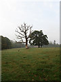
The Milking Field
The name of the field according to the 1842 tithe map. The white gables of Chiltington House are just visible in the distance whilst visibility in general is poor due to the early morning fog still lingering.
Image: © Simon Carey
Taken: 30 Oct 2009
0.10 miles
6
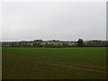
Welfores Meadow
The name of the field according to the 1844 tithe map. The field was once much larger but has had the south west corner separated by the railway. The hedge at the end of the field marks the course of Chiltington Lane whilst Hurst Barns can be seen in the distance on the next ridge.
Image: © Simon Carey
Taken: 30 Oct 2009
0.10 miles
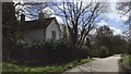
8
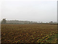
Wickens Mead
The name of the field according to the 1842 tithe map. Viewed through the early morning fog with some sunlight finding its way through the haze. The hedge to the right marks the course of the drive to Hurst Barns whilst the trees in the distance have been planted either side of a cutting on the Lewes-Keymer Junction railway. The field itself has now been extended to incorporate Lower Meadow, The Long Four Acres and Barn Field.
Image: © Simon Carey
Taken: 30 Oct 2009
0.12 miles
9
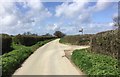
Turning to Hurst Barns
On Chiltington Lane approaching the turning off to Hurst Barns.
Image: © Chris Thomas-Atkin
Taken: 16 Apr 2018
0.14 miles
10
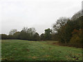
Pipers Brook
The name of the field according to the 1842 tithe map. The trees on the right mark the course of Bevern Stream. Taken from a permissive bridleway that crosses the lands of Bevern Farm starting on the drive to Hurst Barns in the west and offering a number of circuits up to the A275 in the east with another beyond.
Image: © Simon Carey
Taken: 30 Oct 2009
0.15 miles