Wickens Mead
Introduction
The photograph on this page of Wickens Mead by Simon Carey as part of the Geograph project.
The Geograph project started in 2005 with the aim of publishing, organising and preserving representative images for every square kilometre of Great Britain, Ireland and the Isle of Man.

There are currently over 7.5m images from over 14,400 individuals and you can help contribute to the project by visiting https://www.geograph.org.uk
Wickens Mead
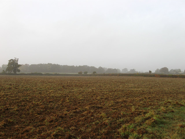
Image: © Simon Carey Taken: 30 Oct 2009
The name of the field according to the 1842 tithe map. Viewed through the early morning fog with some sunlight finding its way through the haze. The hedge to the right marks the course of the drive to Hurst Barns whilst the trees in the distance have been planted either side of a cutting on the Lewes-Keymer Junction railway. The field itself has now been extended to incorporate Lower Meadow, The Long Four Acres and Barn Field.
Images are licensed for reuse under creativecommons.org/licenses/by-sa/2.0
Image Location
Latitude
50.922631
Longitude
-0.031974