
IMAGES TAKEN NEAR TO
Willow Way, HASSOCKS, BN6 9TG
Introduction
This page details the photographs taken nearby to Willow Way, BN6 9TG by members of the Geograph project.
The Geograph project started in 2005 with the aim of publishing, organising and preserving representative images for every square kilometre of Great Britain, Ireland and the Isle of Man.

There are currently over 7.5m images from over14,400 individuals and you can help contribute to the project by visiting https://www.geograph.org.uk
Image Map
Images are licensed for reuse under creativecommons.org/licenses/by-sa/2.0
Notes
- Clicking on the map will re-center to the selected point.
- The higher the marker number, the further away the image location is from the centre of the postcode.
Image Listing (30 Images Found)
Images are licensed for reuse under creativecommons.org/licenses/by-sa/2.0
Image
Details
Distance
1
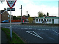
Cuckfield Road, Hurstpierpoint
Looking west from the junction with Chalkers Lane. The Fire Station tower is in the centre of the picture.
Image: © Simon Carey
Taken: 5 Nov 2005
0.10 miles
2
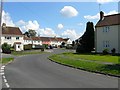
Willow Way, Hurstpierpoint
A council estate built in the late 1940s/early 1950s at the northern end of the town. This section lies roughly at the southern end of an old foiled called Wheatstack Field, according to Hurstpierpoint's 1842 tithe map. See also Image
Image: © Simon Carey
Taken: 7 Aug 2014
0.10 miles
3
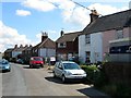
Pitt Cottages, Western Road, Hurstpierpoint
The name of the pair of cottages on the right that were erected in 1869 when the road was known as Whitehorse Lane and probably inhabited by those who worked for the neighbouring Hurstpierpoint gas works.
Image: © Simon Carey
Taken: 7 Aug 2014
0.11 miles
4
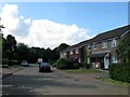
Blackthorns, Hurstpierpoint
A cul de sac off Willow Way built in the early 1990s on what was once Court Bushes Mead, according to Hurstpierpoint's 1842 tithe map.
Image: © Simon Carey
Taken: 7 Aug 2014
0.11 miles
5
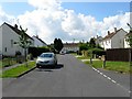
Willow Way, Hurstpierpoint
An estate built in the late 1940s/early 1950s with this section built on a former field called Cheese Press Field, according to Hurstpierpoint's 1842 tithe map. See also Image
Image: © Simon Carey
Taken: 7 Aug 2014
0.11 miles
6
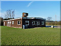
Pavilion, Fairfield Recreation Ground
A sign indicates that this is the home of the Hurstpierpoint Football, Cricket and Stoolball Club.
Image: © Robin Webster
Taken: 19 Jan 2011
0.12 miles
7
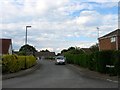
White's Close, Hurstpierpoint
Small cup de sac off Image which was built in the early 1970s.
Image: © Simon Carey
Taken: 6 Jul 2014
0.12 miles
8
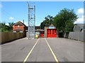
Hurstpierpoint Fire Station, Cuckfield Road, Hurstpierpoint
Located next to Image and replaced an older station on the High Street.
Image: © Simon Carey
Taken: 7 Aug 2014
0.12 miles
9
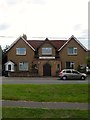
St Luke's Roman Catholic Church, Cuckfield Road, Hurstpierpoint
Originally built as a mission room in the first decade of the 20th century which explains why the church seems to have been built between two houses. It became a Roman Catholic church between the wars.
Image: © Simon Carey
Taken: 6 Jul 2014
0.13 miles
10
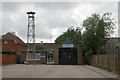
Hurstpierpoint fire station
Hurstpierpoint fire station, Cuckfield Road, Hurstpierpoint, West Sussex
Image: © Kevin Hale
Taken: 16 Jun 2007
0.13 miles