
IMAGES TAKEN NEAR TO
Ingram Road, STEYNING, BN44 3PF
Introduction
This page details the photographs taken nearby to Ingram Road, BN44 3PF by members of the Geograph project.
The Geograph project started in 2005 with the aim of publishing, organising and preserving representative images for every square kilometre of Great Britain, Ireland and the Isle of Man.

There are currently over 7.5m images from over14,400 individuals and you can help contribute to the project by visiting https://www.geograph.org.uk
Image Map
Images are licensed for reuse under creativecommons.org/licenses/by-sa/2.0
Notes
- Clicking on the map will re-center to the selected point.
- The higher the marker number, the further away the image location is from the centre of the postcode.
Image Listing (88 Images Found)
Images are licensed for reuse under creativecommons.org/licenses/by-sa/2.0
Image
Details
Distance
1
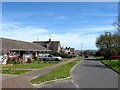
Ingram Road, Steyning
A residential road linking Penlands Way to Combe Road that was developed in the 1960s.
Image: © Simon Carey
Taken: 1 May 2016
0.02 miles
2
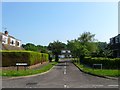
The Furlongs, Steyning
A cul de sac off Ingram Road that was built as part of the penlands estate during the 1960s.
Image: © Simon Carey
Taken: 5 Jun 2016
0.03 miles
3
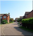
Godstalls Lane, Steyning
A cul de sac off Newham Lane that was developed around 1990 on the site of Whitcombe's Nursery. The turning on the left is Image
Image: © Simon Carey
Taken: 5 Jun 2016
0.06 miles
4
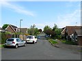
Portway, Steyning
Running south from Ingram Road where it becomes Image from this point. The road is named after the former field it was built on, part of which still survives, see Image, that was developed in the 1970s.
Image: © Simon Carey
Taken: 29 May 2016
0.08 miles
5
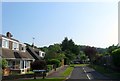
Andrew Close, Steyning
A cul de sac off Ingram Road that was developed in the 1960s as part of the Penlands estate.
Image: © Simon Carey
Taken: 5 Jun 2016
0.08 miles
6

Perrots Lane, Steyning
A cul de sac off Image that was developed around 1990.
Image: © Simon Carey
Taken: 5 Jun 2016
0.09 miles
7
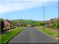
Penlands Rise, Steyning
A residential road built in the 1960s that runs from the junction of Penlands Way and Penlands Vale to Ingram Road. Steyning Round Hill provides the back drop.
Image: © Simon Carey
Taken: 29 May 2016
0.09 miles
8
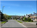
Penfold Way, Steyning
A cul de sac off Ingram Road that was developed in the 1960s. The flag on the right is the West Sussex County flag containing the six martlets which represent all Sussex.
Image: © Simon Carey
Taken: 1 May 2016
0.09 miles
9
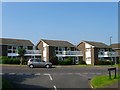
Penlands Court, Ingram Road, Steyning
A set of flats that were built in the 1960s as part of the Penlands estate.
Image: © Simon Carey
Taken: 5 Jun 2016
0.10 miles
10
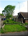
Public Footpath, Penlands Vale, Steyning
The old right of way connecting Newham Lane to Bostal Road has survived the construction of the housing estates in the area.
Image: © Simon Carey
Taken: 29 May 2016
0.11 miles