The Furlongs, Steyning
Introduction
The photograph on this page of The Furlongs, Steyning by Simon Carey as part of the Geograph project.
The Geograph project started in 2005 with the aim of publishing, organising and preserving representative images for every square kilometre of Great Britain, Ireland and the Isle of Man.

There are currently over 7.5m images from over 14,400 individuals and you can help contribute to the project by visiting https://www.geograph.org.uk
The Furlongs, Steyning
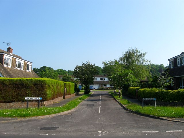
Image: © Simon Carey Taken: 5 Jun 2016
A cul de sac off Ingram Road that was built as part of the penlands estate during the 1960s.
Images are licensed for reuse under creativecommons.org/licenses/by-sa/2.0
Image Location
Latitude
50.884392
Longitude
-0.331004