
IMAGES TAKEN NEAR TO
Downsway, BRIGHTON, BN42 4WF
Introduction
This page details the photographs taken nearby to Downsway, BN42 4WF by members of the Geograph project.
The Geograph project started in 2005 with the aim of publishing, organising and preserving representative images for every square kilometre of Great Britain, Ireland and the Isle of Man.

There are currently over 7.5m images from over14,400 individuals and you can help contribute to the project by visiting https://www.geograph.org.uk
Image Map
Images are licensed for reuse under creativecommons.org/licenses/by-sa/2.0
Notes
- Clicking on the map will re-center to the selected point.
- The higher the marker number, the further away the image location is from the centre of the postcode.
Image Listing (12 Images Found)
Images are licensed for reuse under creativecommons.org/licenses/by-sa/2.0
Image
Details
Distance
1
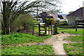
Kissing gate off Downsway
The footpath is more of a downs way than the road, giving access to Southwick Hill and beyond.
Image: © Robin Webster
Taken: 3 Apr 2010
0.06 miles
2
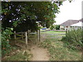
Footpath from the downs reaches Downsway
This is in West Sussex.
Image: © Shazz
Taken: 29 Aug 2016
0.06 miles
3
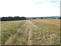
Footpath going down to Shoreham
This is in West Sussex.
Image: © Shazz
Taken: 29 Aug 2016
0.06 miles
4
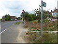
Footpath emerges at bus stop at the top of Overhill
This is in West Sussex.
Image: © Shazz
Taken: 29 Aug 2016
0.07 miles
5

Footpath for Sledgers
The footpath links the northern edge of Southwick with Southwick Hill and is currently full of people either coming or going to a sledging spot on the side of the latter. Shoreham Power Station is just visible in the distance through the expanse of white.
Image: © Simon Carey
Taken: 2 Dec 2010
0.08 miles
6
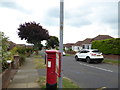
Pillar box at bus stop on Overhill
This is in West Sussex.
Image: © Shazz
Taken: 29 Aug 2016
0.10 miles
7

Pylons, Southwick Hill
Breaking the monotony of the white after 8-10 inches of snow fell overnight.
Image: © Simon Carey
Taken: 2 Dec 2010
0.13 miles
8
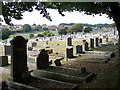
Cemetery, Southwick Hill
Beyond this post war cemetery there are paddocks and all is now surrounded by housing in this square.
Image: © Bob Embleton
Taken: 9 Sep 2005
0.16 miles
9

Overhill
Residential road running between Windmill Parade and Downsway that was developed in the immediate postwar years. Shoreham Power Station can be seen in the distance whilst the sun makes an effort to break through a gap in the cloud.
Image: © Simon Carey
Taken: 2 Dec 2010
0.16 miles
10
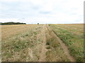
Footpath on the downs
This is in West Sussex.
Image: © Shazz
Taken: 29 Aug 2016
0.18 miles