Overhill
Introduction
The photograph on this page of Overhill by Simon Carey as part of the Geograph project.
The Geograph project started in 2005 with the aim of publishing, organising and preserving representative images for every square kilometre of Great Britain, Ireland and the Isle of Man.

There are currently over 7.5m images from over 14,400 individuals and you can help contribute to the project by visiting https://www.geograph.org.uk
Overhill
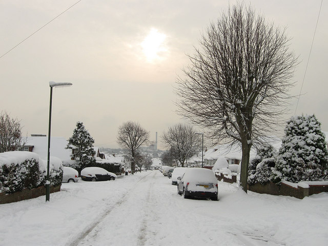
Image: © Simon Carey Taken: 2 Dec 2010
Residential road running between Windmill Parade and Downsway that was developed in the immediate postwar years. Shoreham Power Station can be seen in the distance whilst the sun makes an effort to break through a gap in the cloud.
Images are licensed for reuse under creativecommons.org/licenses/by-sa/2.0
Image Location
Latitude
50.844317
Longitude
-0.235559