
IMAGES TAKEN NEAR TO
The Upper Drive, HOVE, BN3 6NA
Introduction
This page details the photographs taken nearby to The Upper Drive, BN3 6NA by members of the Geograph project.
The Geograph project started in 2005 with the aim of publishing, organising and preserving representative images for every square kilometre of Great Britain, Ireland and the Isle of Man.

There are currently over 7.5m images from over14,400 individuals and you can help contribute to the project by visiting https://www.geograph.org.uk
Image Map
Images are licensed for reuse under creativecommons.org/licenses/by-sa/2.0
Notes
- Clicking on the map will re-center to the selected point.
- The higher the marker number, the further away the image location is from the centre of the postcode.
Image Listing (99 Images Found)
Images are licensed for reuse under creativecommons.org/licenses/by-sa/2.0
Image
Details
Distance
1
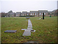
Covered Reservoir
Located in the middle of 60s housing development the reservoir has been here since the mid nineteenth century and is certainly marked on the 1880s map. This view looks north west from the small drive leading to its gates.
Image: © Simon Carey
Taken: 25 Mar 2006
0.01 miles
2
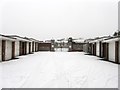
Entrance to Covered Reservoir
Looking past a set of garages towards the flint wall that surrounds the reservoir which was created in the last decades of the 19th century and predates all except Cardinal Newman School on the section of The Upper Drive between Old Shoreham Road and Dyke Road.
Image: © Simon Carey
Taken: 20 Jan 2013
0.02 miles
3
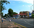
Tesco Express, Dyke Road
The second Tesco Express in this grid square attached to the garage at the junction of Dyke Road and The Upper Drive in the top right hand corner of the square.
Image: © Simon Carey
Taken: 27 Aug 2006
0.05 miles
5
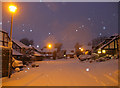
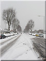
Greyfriars
Recently built cul-de-sac off The Upper Drive, see Image for a view without snow. The snow arrived in Brighton on Thursday night though did not start to settle in earnest until gone 11pm, by this time, 7.25am it was ankle deep and still snowing as can be seen by the flash of the camera reflecting in the falling snow. Snowing finally ceased around 8.30am.
Image: © Simon Carey
Taken: 18 Dec 2009
0.06 miles
6
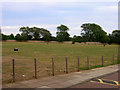
Playing Field, Cardinal Newman School
This one is to the north of the school and contains the rugby pitch and athletics track.
Image: © Simon Carey
Taken: 8 Aug 2006
0.07 miles
7
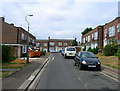
Kestrel Close
A small cul-de-sac near the top end of The Upper Drive. Built in the 1960s in the grounds of a former school that was demolished in 1959.
Image: © Simon Carey
Taken: 12 Aug 2006
0.07 miles
8
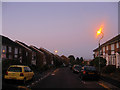
The Martlets
Housing estate built in the 1960s on the site of an old school. Taken about 15 minutes before sunrise.
Image: © Simon Carey
Taken: 25 Oct 2009
0.08 miles
9
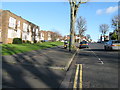
The Upper Drive Hove
Nearing its junction with Dyke Road.
Image: © Dave Spicer
Taken: 1 Jan 2013
0.08 miles
10
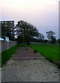
Long Jump, Cardinal Newman School
This is the northern edge of the school playing fields. The railway runs underneath the hill around the far wall whilst the block of flats to the left is Park Lodge. Beyond the far wall is Dyke Road Park.
Image: © Simon Carey
Taken: 21 Oct 2006
0.08 miles