
IMAGES TAKEN NEAR TO
Draxmont Way, BRIGHTON, BN1 6QF
Introduction
This page details the photographs taken nearby to Draxmont Way, BN1 6QF by members of the Geograph project.
The Geograph project started in 2005 with the aim of publishing, organising and preserving representative images for every square kilometre of Great Britain, Ireland and the Isle of Man.

There are currently over 7.5m images from over14,400 individuals and you can help contribute to the project by visiting https://www.geograph.org.uk
Image Map
Images are licensed for reuse under creativecommons.org/licenses/by-sa/2.0
Notes
- Clicking on the map will re-center to the selected point.
- The higher the marker number, the further away the image location is from the centre of the postcode.
Image Listing (38 Images Found)
Images are licensed for reuse under creativecommons.org/licenses/by-sa/2.0
Image
Details
Distance
1
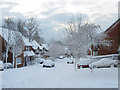
Varndean Holt
Small cul-de-sac off Draxmont Way that was built in the 1990s. The sky is now beginning to break which will lead to a beautifully clear and sunny day later on after 10cm of snow was deposited in the city overnight.
Image: © Simon Carey
Taken: 18 Dec 2009
0.04 miles
2
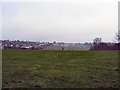
Varndean College fields
website: http://www.varndean.ac.uk/
The college was founded in 1884 in York Place, Brighton as a boys' Secondary School and moved to its current site in 1932, later attaining grammar school status, becoming Varndean Grammar School for Boys, administered by the Education Committee for the County Borough of Brighton. In 1972 the first girls were admitted to the school, and in 1975 it became a sixth form college http://en.wikipedia.org/wiki/Varndean_College
Image: © Paul Gillett
Taken: 20 Feb 2011
0.07 miles
4
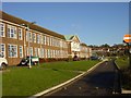
Varndean College
http://www.varndean.ac.uk
Image: © Brian Dungate
Taken: 8 Dec 2005
0.10 miles
5
Varndean College
website: http://www.varndean.ac.uk/
The college was founded in 1884 in York Place, Brighton as a boys' Secondary School and moved to its current site in 1932, later attaining grammar school status, becoming Varndean Grammar School for Boys, administered by the Education Committee for the County Borough of Brighton. In 1972 the first girls were admitted to the school, and in 1975 it became a sixth form college http://en.wikipedia.org/wiki/Varndean_College
Image: © Paul Gillett
Taken: 20 Feb 2011
0.11 miles
6
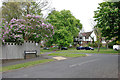
Junction of Varndean Gardens and Surrenden Crescent, Brighton
The blossom on the left is lilac.
Image: © Robin Webster
Taken: 19 May 2010
0.11 miles
7
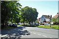
Surrenden Road, Brighton
A suburban dual carriageway. This often means in large towns that it was a tram route. This was not the case here, but it was a trolleybus route.
Image: © Robin Webster
Taken: 19 Jul 2016
0.12 miles
8
Varndean College Grounds
The playing fields at Varndean College.
Image: © Chris Thomas-Atkin
Taken: 5 Dec 2017
0.12 miles
9
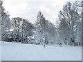
Surrenden Road
Viewed from the junction with Surrenden Crescent with heads from the photographer than turns left. The portion of Surrenden Road beyond is actually an offshoot of the road of the same name which is also the eastern junction of Surrenden Crescent, the road which turned left. About 10cm of snow has fallen overnight beginning around 11.30pm and stopping about 8.25am not too long before this image was taken.
Image: © Simon Carey
Taken: 18 Dec 2009
0.13 miles
10
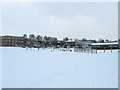
Dorothy Stringer High School
Opened in 1955 as a secondary modern and for many years lived in the shadow of the neighbouring boys and girls grammar schools. Now probably the best state school in Brighton. About 10cm of snow blanketed the city overnight causing many schools in the area to shut and allow their pupils to start their Christmas holiday a day earlier.
Image: © Simon Carey
Taken: 18 Dec 2009
0.13 miles