Surrenden Road, Brighton
Introduction
The photograph on this page of Surrenden Road, Brighton by Robin Webster as part of the Geograph project.
The Geograph project started in 2005 with the aim of publishing, organising and preserving representative images for every square kilometre of Great Britain, Ireland and the Isle of Man.

There are currently over 7.5m images from over 14,400 individuals and you can help contribute to the project by visiting https://www.geograph.org.uk
Surrenden Road, Brighton
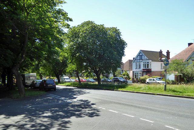
Image: © Robin Webster Taken: 19 Jul 2016
A suburban dual carriageway. This often means in large towns that it was a tram route. This was not the case here, but it was a trolleybus route.
Images are licensed for reuse under creativecommons.org/licenses/by-sa/2.0
Image Location
Latitude
50.848424
Longitude
-0.146617