IMAGES TAKEN NEAR TO
Highview Road, PEACEHAVEN, BN10 7AS
Introduction
This page details the photographs taken nearby to Highview Road, BN10 7AS by members of the Geograph project.
The Geograph project started in 2005 with the aim of publishing, organising and preserving representative images for every square kilometre of Great Britain, Ireland and the Isle of Man.

There are currently over 7.5m images from over14,400 individuals and you can help contribute to the project by visiting https://www.geograph.org.uk
Image Map
Images are licensed for reuse under creativecommons.org/licenses/by-sa/2.0
Notes
- Clicking on the map will re-center to the selected point.
- The higher the marker number, the further away the image location is from the centre of the postcode.
Image Listing (22 Images Found)
Images are licensed for reuse under creativecommons.org/licenses/by-sa/2.0
Image
Details
Distance
3
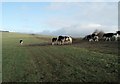
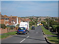
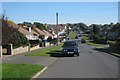
Cows on Telscombe Tye
Taken at 10.55am on Christmas day 2009
Image: © Paul Gillett
Taken: 25 Dec 2009
0.14 miles
4
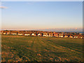
Telscombe Tye
Looking towards the houses in Gorham Way, the western most point of the settlement of Telscombe Cliffs.
Image: © Simon Carey
Taken: 14 Oct 2012
0.15 miles
5
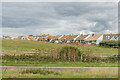
Telscombe Tye and rear of Gorham Way
Looking across the A259 South Coast Road to the grassland of Telscombe Tye and houses in Gorham Way in Telscombe Cliffs.
Image: © Ian Capper
Taken: 20 Sep 2022
0.16 miles
6
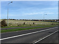
Approaching Telscombe Cliffs
Looking across South Coast Road and Telscombe Tye towards Telscombe Cliffs. The latter was actually the first place to be developed along the cliffs by the Cavendish Land Company around 1900 though this attempt initially failed. However, with Charles Neville's development of Peacehaven and Saltdean the older Telscombe Cliffs was revitalised and grew with the former. The bungalows in view are on Gorham Way named after the Lord of Manor at Telscombe, Ambrose Gorham, who having battled to prevent Neville getting hold of his land, willed the Tye to Brighton Borough Council, despite the fact Telscombe had never been a part of Brighton, on condition it remained in perpetual use as an area of common land and thus creating a buffer between the outlying eastern edge of Brighton and the towns to the east.
Image: © Simon Carey
Taken: 15 Mar 2009
0.16 miles
7
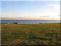
Telscombe Tye
A large tract of common land that separates Saltdean from Telscombe Cliffs, part of which can be seen to the left. The block of flats are Image whilst just visible over the brow is Image
Image: © Simon Carey
Taken: 14 Oct 2012
0.17 miles
8
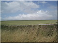
Telscombe Tye
Viewed from the A259 between Saltdean and Telscombe Cliffs
Image: © Paul Gillett
Taken: 25 Jul 2009
0.18 miles