
IMAGES TAKEN NEAR TO
Shirley, CHRISTCHURCH, BH23 8EJ
Introduction
This page details the photographs taken nearby to Shirley, BH23 8EJ by members of the Geograph project.
The Geograph project started in 2005 with the aim of publishing, organising and preserving representative images for every square kilometre of Great Britain, Ireland and the Isle of Man.

There are currently over 7.5m images from over14,400 individuals and you can help contribute to the project by visiting https://www.geograph.org.uk
Image Map
Images are licensed for reuse under creativecommons.org/licenses/by-sa/2.0
Notes
- Clicking on the map will re-center to the selected point.
- The higher the marker number, the further away the image location is from the centre of the postcode.
Image Listing (23 Images Found)
Images are licensed for reuse under creativecommons.org/licenses/by-sa/2.0
Image
Details
Distance
1
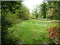
Shirley, track
At the entrance to Martin's Copse, privately owned woodland.
Image: © Mike Faherty
Taken: 10 Oct 2011
0.08 miles
2
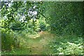
Path by Martin's Copse
The copse is on the right above, but trees are present also on the left, although they seem not to be depicted on any maps. Martin's Copse is private woodland which is fenced off from the public.
Image: © mike smith
Taken: 23 Jul 2013
0.08 miles
4
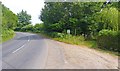
Ringwood Road north of Bransgore
This view of the road shows, on the right, beyond the gate, the start of a footpath leading to Thatchers Lane.
Image: © mike smith
Taken: 23 Jul 2013
0.09 miles
5
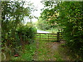
Shirley, gates
At the end of the footpath from Thatchers Lane; ahead, Ringwood Road.
Image: © Mike Faherty
Taken: 10 Oct 2011
0.09 miles
6
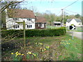
Cottages at North Ripley
Adjacent to the footpath past Martin's Copse on the edge of the New Forest.
Image: © Jonathan Billinger
Taken: 9 Apr 2010
0.10 miles
7
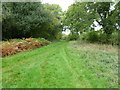
Shirley, footpath junction
Camera, from Thatchers Lane; left, from Ripley; ahead, to Ringwood Road. To the left is Martin's Copse.
Image: © Mike Faherty
Taken: 10 Oct 2011
0.11 miles
8
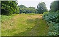
Footpath Junction
These paths are somewhat overgrown, and are barely discernible. The path on the right skirts round the edge of Martin's Copse. The hardly visible path on the left heads towards Thatchers Lane.
Image: © mike smith
Taken: 23 Jul 2013
0.11 miles
10
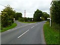
Shirley, road junction
Left, Bennets Lane, to North Ripley; ahead, Ringwood Road.
Image: © Mike Faherty
Taken: 10 Oct 2011
0.12 miles