Path by Martin's Copse
Introduction
The photograph on this page of Path by Martin's Copse by mike smith as part of the Geograph project.
The Geograph project started in 2005 with the aim of publishing, organising and preserving representative images for every square kilometre of Great Britain, Ireland and the Isle of Man.

There are currently over 7.5m images from over 14,400 individuals and you can help contribute to the project by visiting https://www.geograph.org.uk
Path by Martin's Copse
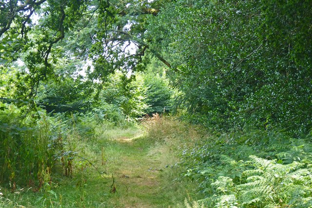
Image: © mike smith Taken: 23 Jul 2013
The copse is on the right above, but trees are present also on the left, although they seem not to be depicted on any maps. Martin's Copse is private woodland which is fenced off from the public.
Images are licensed for reuse under creativecommons.org/licenses/by-sa/2.0
Image Location


Leaflet Map data © OpenStreetMap
Latitude
50.793362
Longitude
-1.751803