
IMAGES TAKEN NEAR TO
Hurn, CHRISTCHURCH, BH23 6AZ
Introduction
This page details the photographs taken nearby to BH23 6AZ by members of the Geograph project.
The Geograph project started in 2005 with the aim of publishing, organising and preserving representative images for every square kilometre of Great Britain, Ireland and the Isle of Man.

There are currently over 7.5m images from over14,400 individuals and you can help contribute to the project by visiting https://www.geograph.org.uk
Image Map
Images are licensed for reuse under creativecommons.org/licenses/by-sa/2.0
Notes
- Clicking on the map will re-center to the selected point.
- The higher the marker number, the further away the image location is from the centre of the postcode.
Image Listing (20 Images Found)
Images are licensed for reuse under creativecommons.org/licenses/by-sa/2.0
Image
Details
Distance
1
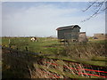
West Hurn, chicken coop
Pleasantly unintensive egg-laying facility, alongside Dales Lane Image Note the Shetland pony nearby.
Image: © Mike Faherty
Taken: 8 Feb 2009
0.03 miles
2
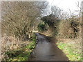
West Hurn, Dales Lane
Single-track lane from West Hurn to Merritown.
Image: © Mike Faherty
Taken: 8 Feb 2009
0.05 miles
3
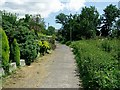
Dales Lane
This is looking south east, with gardens of Hillside Cottages on the left.
Image: © mike smith
Taken: 31 Jul 2007
0.11 miles
4
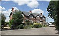
Hillside Cottages
These cottages are hidden away down Hurn Court Lane, and remain unseen by most people in the area.
Image: © mike smith
Taken: 31 Jul 2007
0.14 miles
5
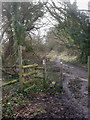
Merritown, stile
No need to use the stile today, as the gate has been left open. As seen from the end of Dales Lane, looking south towards Throop.
Image: © Mike Faherty
Taken: 8 Feb 2009
0.15 miles
6
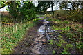
Wet path at Merritown
The path south of this point was passable only in waterproof boots, with considerable care.
Image: © David Martin
Taken: 2 Feb 2020
0.15 miles
7
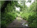
Lane South of the Airport
This shows that away from the airport and the theme park, the land is still very rural. This is a marked public path which leads to the northern side of the River Stour, the path continuing to Throop Mill.
Image: © mike smith
Taken: 28 Jun 2007
0.15 miles
8
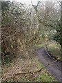
Merritown, catkins
Hazel catkins, harbinger of spring; as seen on Stour Valley Way. For associations and folklore, see http://www.englishplants.co.uk/hazel.html
Image: © Mike Faherty
Taken: 8 Feb 2009
0.16 miles
9
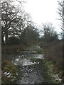
Merritown, Stour Valley Way
Very muddy & partially frozen section of the Stour Valley Way, south of Merritown.
Image: © Mike Faherty
Taken: 8 Feb 2009
0.16 miles
10

Cottages at West Hurn, near Christchurch
A pair of cottages at West Hurn, near Christchurch.
Image: © Malc McDonald
Taken: 31 May 2025
0.17 miles