
IMAGES TAKEN NEAR TO
Marian Road, WIMBORNE, BH21 3UJ
Introduction
This page details the photographs taken nearby to Marian Road, BH21 3UJ by members of the Geograph project.
The Geograph project started in 2005 with the aim of publishing, organising and preserving representative images for every square kilometre of Great Britain, Ireland and the Isle of Man.

There are currently over 7.5m images from over14,400 individuals and you can help contribute to the project by visiting https://www.geograph.org.uk
Image Map
Images are licensed for reuse under creativecommons.org/licenses/by-sa/2.0
Notes
- Clicking on the map will re-center to the selected point.
- The higher the marker number, the further away the image location is from the centre of the postcode.
Image Listing (22 Images Found)
Images are licensed for reuse under creativecommons.org/licenses/by-sa/2.0
Image
Details
Distance
1
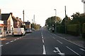
Wareham Road, Corfe Mullen
Viewed from the junction of Springdale Road (Hillview Post Office) looking North toward Blandford Road (B3047)
Image: © David Wright
Taken: 27 Sep 2009
0.09 miles
2
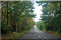
Slow on Wareham Road
There is a 30 limit on this road, with a speed camera further down the hill.
Image: © Robin Webster
Taken: 30 Oct 2012
0.10 miles
3
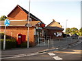
Corfe Mullen: Hill View Post Office and postbox № BH21 26
The more southern of Corfe's two post offices, there is some inconsistency as to whether Hill View is two words or one. The modern postbox is emptied at 5pm on weekdays and at 10 o'clock on Saturday mornings, and has a drop box attached (see below).
Image: © Chris Downer
Taken: 12 Jul 2009
0.12 miles
5
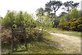
Hill View, Corfe Mullen
The sign marks the beginning of Dorset Wildlife Trust’s nature reserve on Upton Heath
http://www.wildlifetrust.org.uk/dorset/reserves/upton.htm
Image: © John Lamper
Taken: 4 May 2006
0.14 miles
8
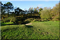
Turf Zone "LesleysHeath"
At Lesley's Heath, Corfe Mullen.
Image: © Ian S
Taken: 17 Nov 2022
0.16 miles
9
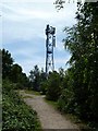
Upton Heath, phone mast
Overlooking the heath with a reservoir to the left; operated by Vodafone.
Image: © Mike Faherty
Taken: 14 Jun 2011
0.17 miles
10
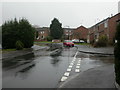
Hillview, Coventry Close
Road off Waterloo Road, leading to modern housing development.
Image: © Mike Faherty
Taken: 25 Feb 2010
0.19 miles