
IMAGES TAKEN NEAR TO
Grange Road, WAREHAM, BH20 5AL
Introduction
This page details the photographs taken nearby to Grange Road, BH20 5AL by members of the Geograph project.
The Geograph project started in 2005 with the aim of publishing, organising and preserving representative images for every square kilometre of Great Britain, Ireland and the Isle of Man.

There are currently over 7.5m images from over14,400 individuals and you can help contribute to the project by visiting https://www.geograph.org.uk
Image Map
Images are licensed for reuse under creativecommons.org/licenses/by-sa/2.0
Notes
- Clicking on the map will re-center to the selected point.
- The higher the marker number, the further away the image location is from the centre of the postcode.
Image Listing (11 Images Found)
Images are licensed for reuse under creativecommons.org/licenses/by-sa/2.0
Image
Details
Distance
1
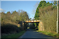
Railway bridge over Grange Road
The Swanage branch crosses.
Image: © Robin Webster
Taken: 2 Feb 2013
0.05 miles
2
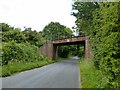
Creech Bottom Railway Bridge
Carrying the line from Wareham to Swanage.
Image: © Ian Rob
Taken: 28 Jun 2016
0.05 miles
3
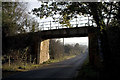
Railway Bridge, Creech Bottom, Dorset
The bridge carries the section of the line used by trains carrying Liquefied Petroleum Gas from the BP terminal at Furzebrook. On average eleven trains a week arrive at Furzebrook where they are loaded with butane and propane destined for BP's distribution terminal at Avonmouth. On 3rd January 2002 the remaining track was re-laid at Norden to connect with this section, re-establishing the rail link between Swanage and the main line that was closed in 1972.
http://www.swanagerailway.co.uk/history.htm
Image: © John Lamper
Taken: 21 Nov 2005
0.05 miles
4
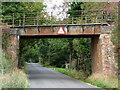
Railway bridge over grange road
This bridge carries the line from Wareham towards Swanage. Closed in the early 1970s. Although now re-connected to the main rail network, the preserved Swanage railway only operates passenger services over between Norden and Swanage, not all the way through to Wareham.
Image: © Phil Champion
Taken: 23 Sep 2009
0.06 miles
5
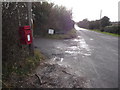
Creech: postbox № BH20 94, Grange Road
This little postbox, on the corner of Creech Bottom, is emptied at 9am Monday to Saturday.
Image: © Chris Downer
Taken: 17 Jan 2009
0.10 miles
6
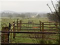
Pens by Grange Road
A view from footpath SE5/19 parallel to Grange Road, which is just to the right. The farm is Grange Barn. In the distance on the left is Creech Barrow Hill, in Image
Image: © Derek Harper
Taken: 21 Jan 2010
0.11 miles
7
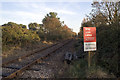
Railway Crossing, Creech Bottom, Dorset
The Purbeck Way crosses the railway line at this point. This section of the line is used by trains carrying Liquefied Petroleum Gas from the BP terminal at Furzebrook. On average eleven trains a week arrive at Furzebrook where they are loaded with butane and propane destined for BP's distribution terminal at Avonmouth. On 3rd January 2002 the remaining track was re-laid at Norden to connect with this section, re-establishing the rail link between Swanage and the main line that was closed in 1972.
http://www.swanagerailway.co.uk/history.htm
Image: © John Lamper
Taken: 21 Nov 2005
0.12 miles
8
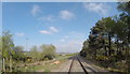
Swanage Railway towards Wareham
The track on the left runs from Grange Road splitting in two; left over the railway line at Creech Bottom to Witch End Boarding Cattery and right to rural dwellings.
Image: © Peter Elsdon
Taken: 18 Apr 2017
0.13 miles
9
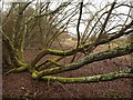
Tree on Stoborough Heath
The spreading stems of a willow at the edge of boggy woodland near a stream at Creech Bottom.
Image: © Derek Harper
Taken: 21 Jan 2010
0.20 miles
10
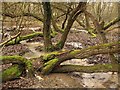
Woodland stream, Stoborough Heath
A stream struggles through a tangle of spreading sallows in the National Nature Reserve north of Creech Bottom.
Image: © Derek Harper
Taken: 21 Jan 2010
0.20 miles